The Future of Wildlife Conservation is in the Sky
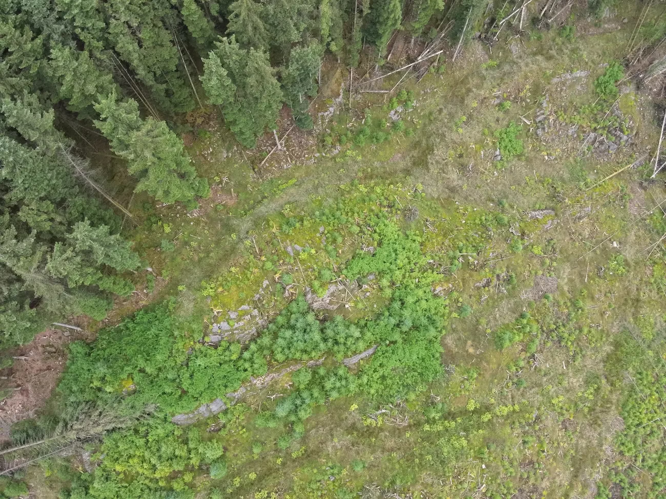
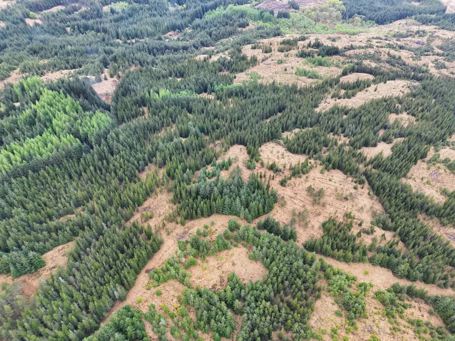
Preserving habitat connectivity is essential for wildlife survival. Drone mapping, GIS, LiDAR, and aerial photogrammetry are transforming conservation efforts by providing precise, high-resolution data for habitat assessment and restoration planning. These advanced technologies allow conservationists to map terrain, monitor habitat changes, and develop effective strategies to maintain and restore crucial wildlife corridors. The use of drone mapping software has further enhanced the accuracy and efficiency of conservation mapping, ensuring data is collected and processed seamlessly.
Why Wildlife Corridors Matter: The Lifelines of Biodiversity
Wildlife corridors are essential pathways that enable animals to move safely between habitats, supporting genetic diversity and long-term ecosystem resilience. These corridors can be natural, such as riverbanks and forested pathways, or artificially maintained by conservationists to reconnect fragmented habitats. Without these vital connections, many species struggle to migrate, find food, or reproduce, leading to population decline.
As human development fragments natural landscapes, maintaining habitat connectivity is critical for species survival. Drone mapping and GIS mapping technologies provide conservationists with the tools to ensure data-driven and effective conservation efforts. The integration of photogrammetry software allows for the creation of highly detailed 3D models, aiding in long-term conservation planning. By identifying areas where connectivity has been lost, conservationists can develop targeted strategies to restore wildlife pathways and reduce human-wildlife conflict.
Cutting-Edge Mapping Techniques Shaping Conservation
1. Drone Mapping: A Game Changer for Wildlife Monitoring
- Captures high-resolution aerial surveys for habitat assessment.
- Identifies critical wildlife movement patterns for conservation strategies.
- Supports wildlife survey techniques by providing accurate, real-time data.
- Different types of drones, including those from DJI, are widely used for conservation mapping due to their high precision and adaptability.
- Helps conservationists understand how species interact with their environments and where intervention is needed to improve habitat connectivity.
2. LiDAR: Unlocking the Secrets of Terrain and Vegetation
- Provides detailed topographic data to assess habitat quality.
- Uses LiDAR scanners to identify barriers to wildlife corridors and potential restoration sites.
- Generates precise LiDAR maps of England and other regions to support habitat conservation efforts.
- Utilises RTK (Real-Time Kinematic) technology to improve data accuracy by using a base station and a rover for real-time correction. This significantly enhances the precision of drone-collected data, ensuring accurate mapping of wildlife corridors and habitat features.
3. Photogrammetry: Monitoring Habitat Change Over Time
- Detects land-use changes and deforestation trends.
- Supports large-scale reforestation and ecosystem restoration initiatives.
- Aids in peatland restoration techniques by monitoring changes in wetland ecosystems.
- Helps collect data efficiently, allowing researchers to compare historical and current landscapes.
- Enables conservationists to assess whether habitat connectivity is improving over time through restoration efforts.
4. ArcGIS: The Power of Interactive Conservation Mapping
- Enables policymakers and ecologists to make informed conservation decisions.
- Creates real-time, interactive maps for environmental restoration projects.
- Utilises ArcGIS Online, ArcGIS Map, and ArcGIS Software for detailed habitat analysis and planning.
- Employs ground control points to enhance mapping accuracy and ensure consistency in data interpretation.
- Allows conservationists to visualise changes in wildlife corridors and identify areas where further intervention is required.
To learn more about how GIS aids in conservation mapping, check out our blog on GIS and Wildlife Conservation: Transforming Surveys and Ecosystem Management.
Real-World Impact: Mapping Conservation Success Stories in the UK
Tracking Deer Migration Corridors to Protect Habitat Connectivity
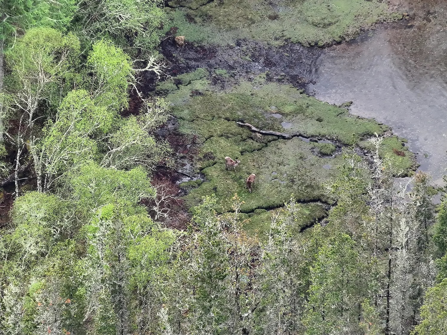
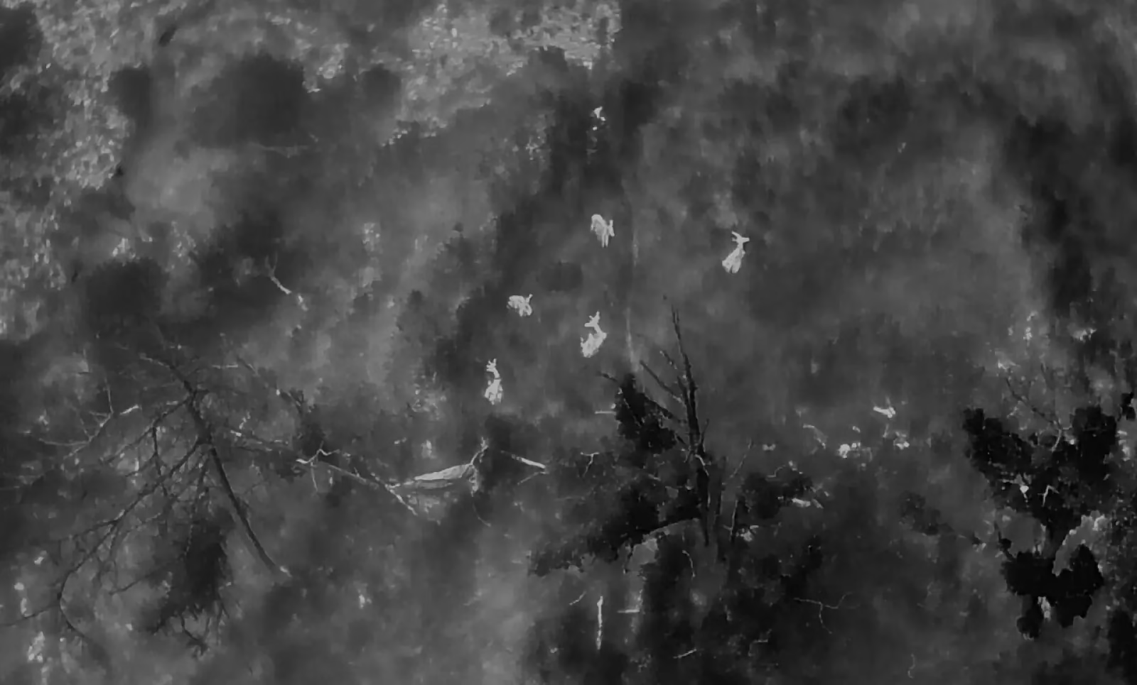
Wildlife corridors are vital for species such as deer, allowing safe movement between fragmented habitats. Drone mapping and LiDAR mapping help conservationists track migration patterns and implement measures to maintain connectivity. Conservationists follow a mapping mission approach, ensuring all necessary data is gathered systematically. By understanding where deer move, conservationists can create safe passageways, preventing conflicts with human development.
Using Drone Mapping to Identify Urban Green Spaces as Wildlife Corridors
Urban expansion threatens biodiversity, but drone surveying identifies green spaces that serve as crucial corridors for wildlife. ArcGIS Software and GIS mapping allow urban planners to integrate wildlife-friendly designs into development projects. The use of aerial images helps highlight potential corridors and barriers to movement, providing crucial insight for conservation efforts. Green roofs, protected parkland, and wildlife-friendly infrastructure can be incorporated to enhance habitat connectivity in urban environments.
Boddy Environmental Ltd.: Leading the Way in Conservation Mapping
At Boddy Environmental Ltd., our Peatland and Nature Restoration Drone Mapping and Surveys use state-of-the-art drone mapping, GIS software, and LiDAR to assess and improve habitat connectivity. These tools support effective conservation planning, peatlands restoration, and sustainable wildlife management. Our drone flight expertise ensures accurate and reliable data capture, enabling conservationists to make informed decisions based on the latest geospatial analysis.
Our drone pilots are trained to operate the best drones for wildlife monitoring, ensuring that drones for mapping are used effectively to gather critical ecological data. Our mapping guides help conservation teams optimise their drone surveys to achieve the greatest impact
The Future of Conservation Lies in Advanced Mapping
Drone mapping and geospatial technologies are revolutionising habitat conservation. By harnessing GIS, LiDAR, and aerial photogrammetry, conservationists, environmental organisations, and policymakers can protect and restore vital ecosystems. These innovative techniques ensure thriving wildlife populations, environmental restoration services, and peatland restoration projects for generations to come.
As habitat loss continues to threaten biodiversity, investing in the monitoring and restoration of wildlife corridors will be crucial in ensuring species survival. The incorporation of 3D mapping enables more detailed landscape analysis, providing conservationists with unprecedented insight into terrain changes and habitat evolution. Through continuous advancements in drone technology and GIS-based planning, we can create a future where both wildlife and human development coexist in harmony.


