
Comprehensive Wildlife Surveys and Management Across the UK
Accurate insights, innovative methods, and expert solutions to manage your wildlife and habitats.
Discover Our Advanced Wildlife Survey Services
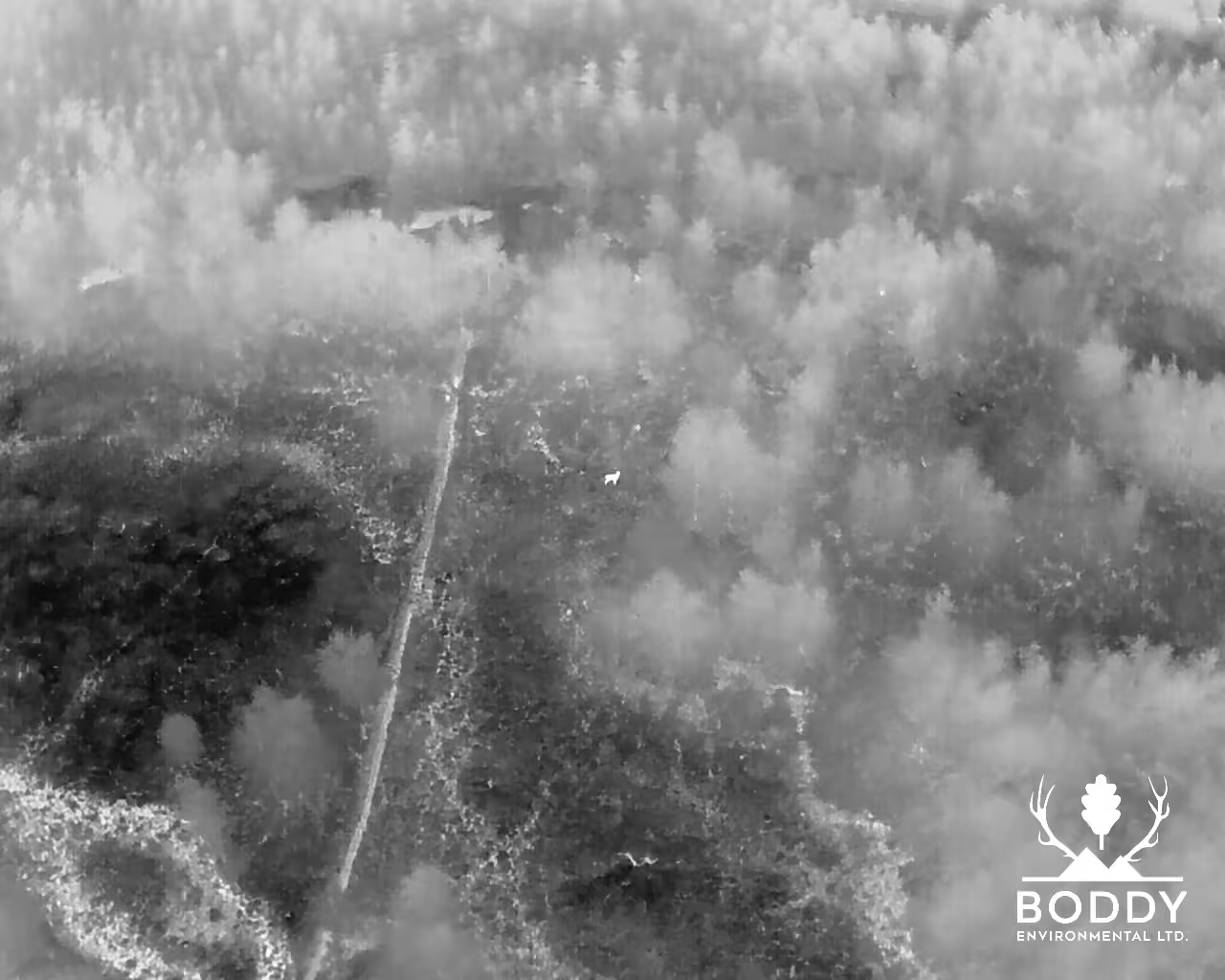
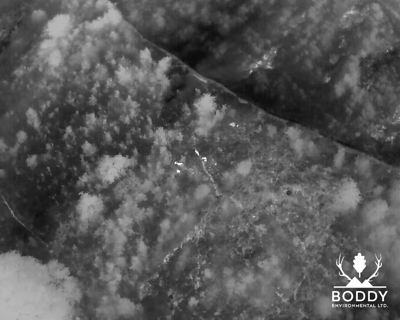
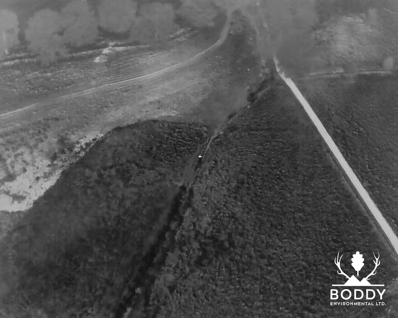
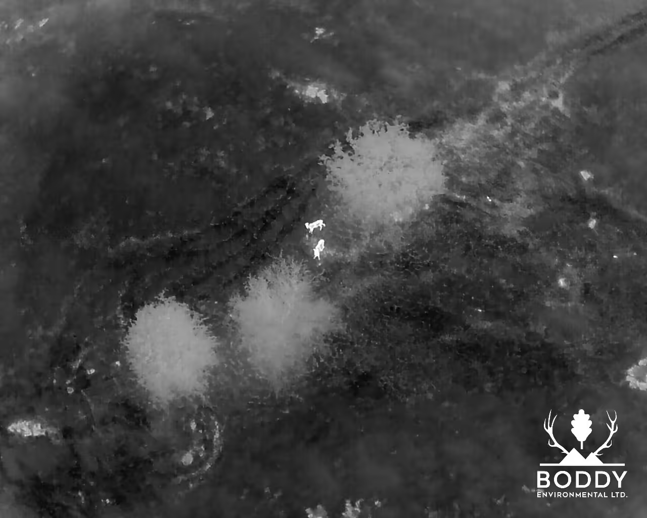
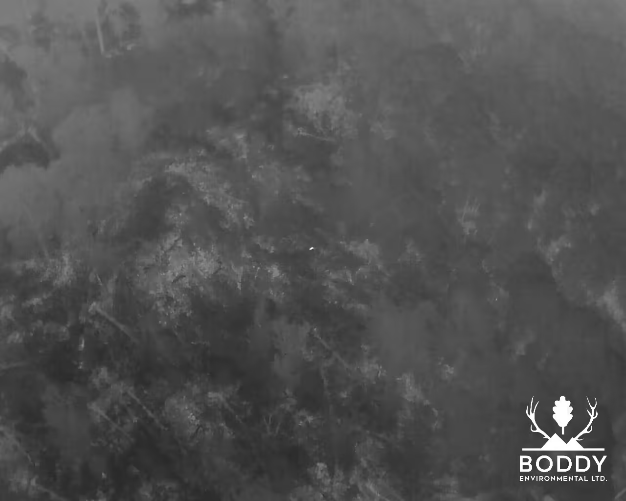
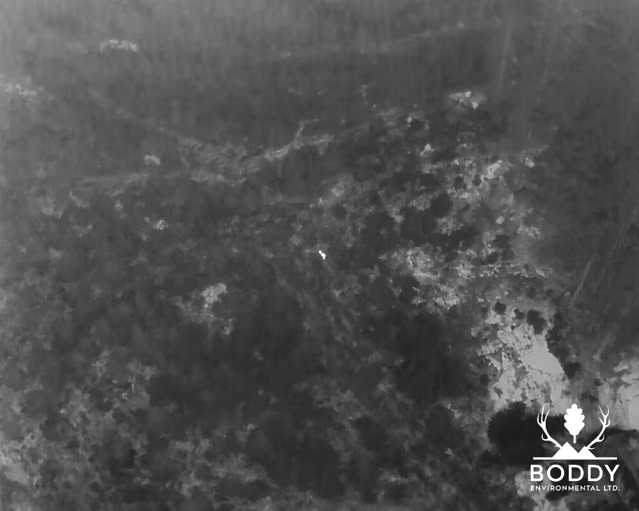
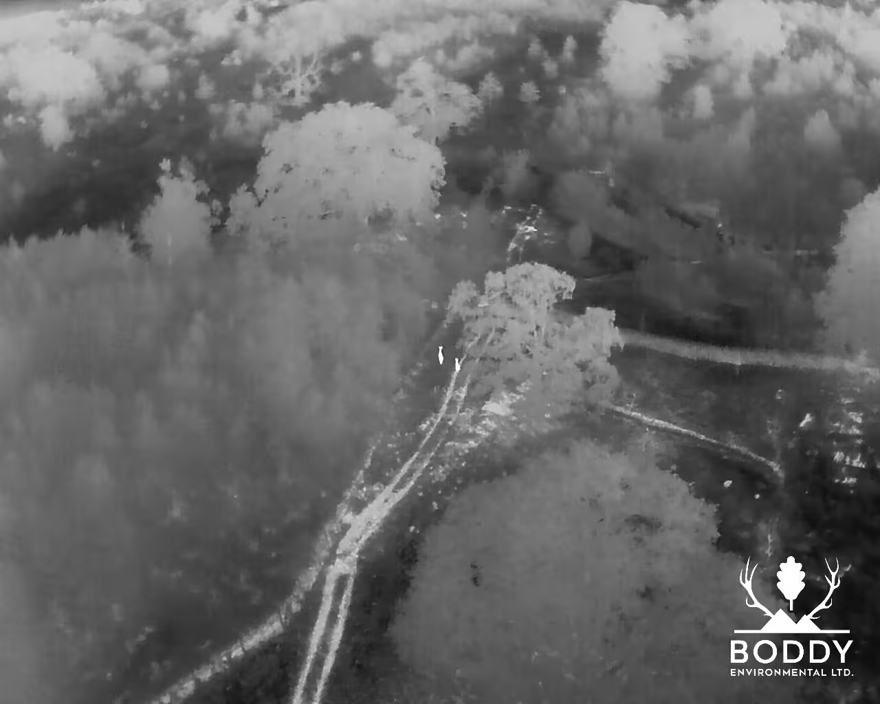
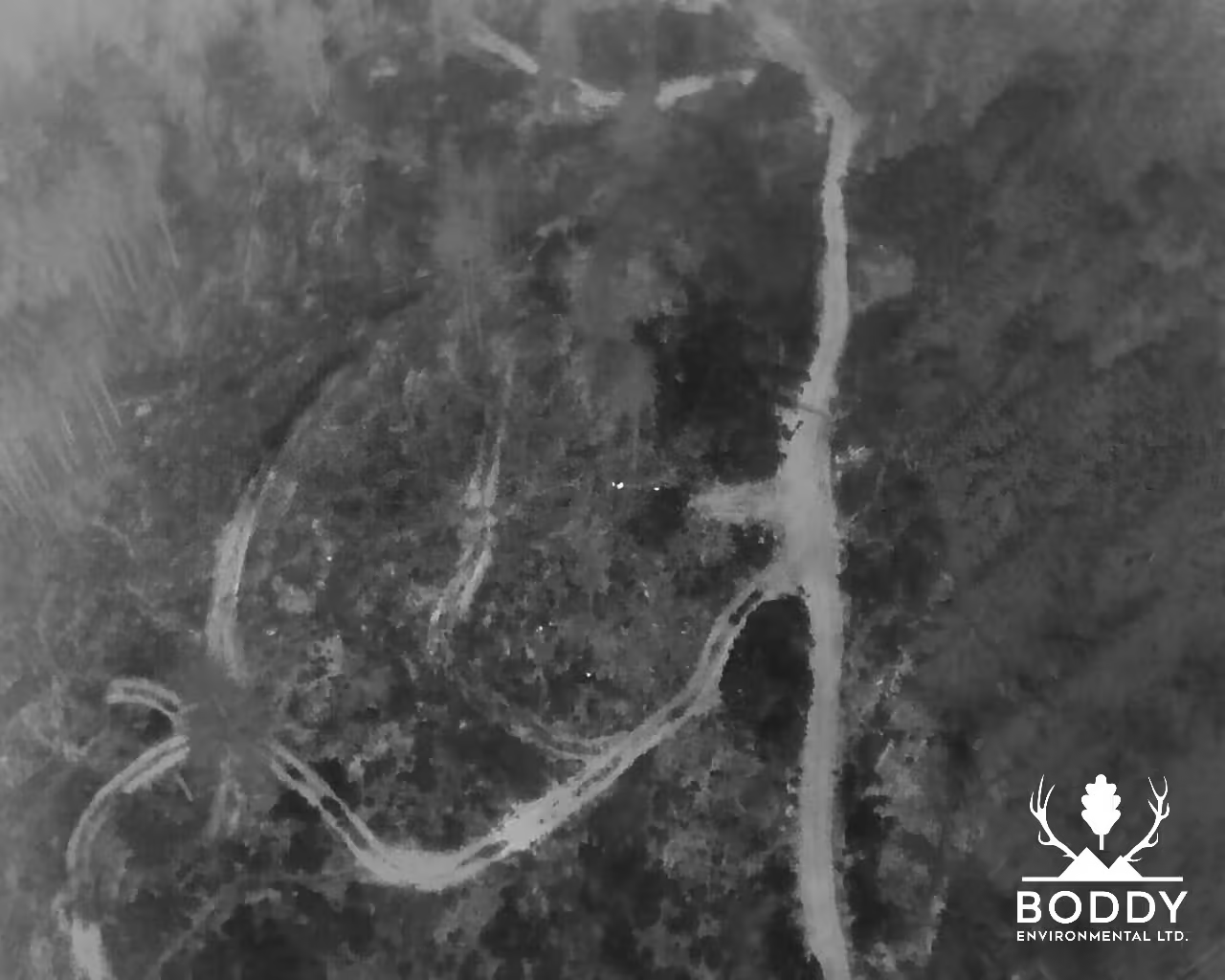
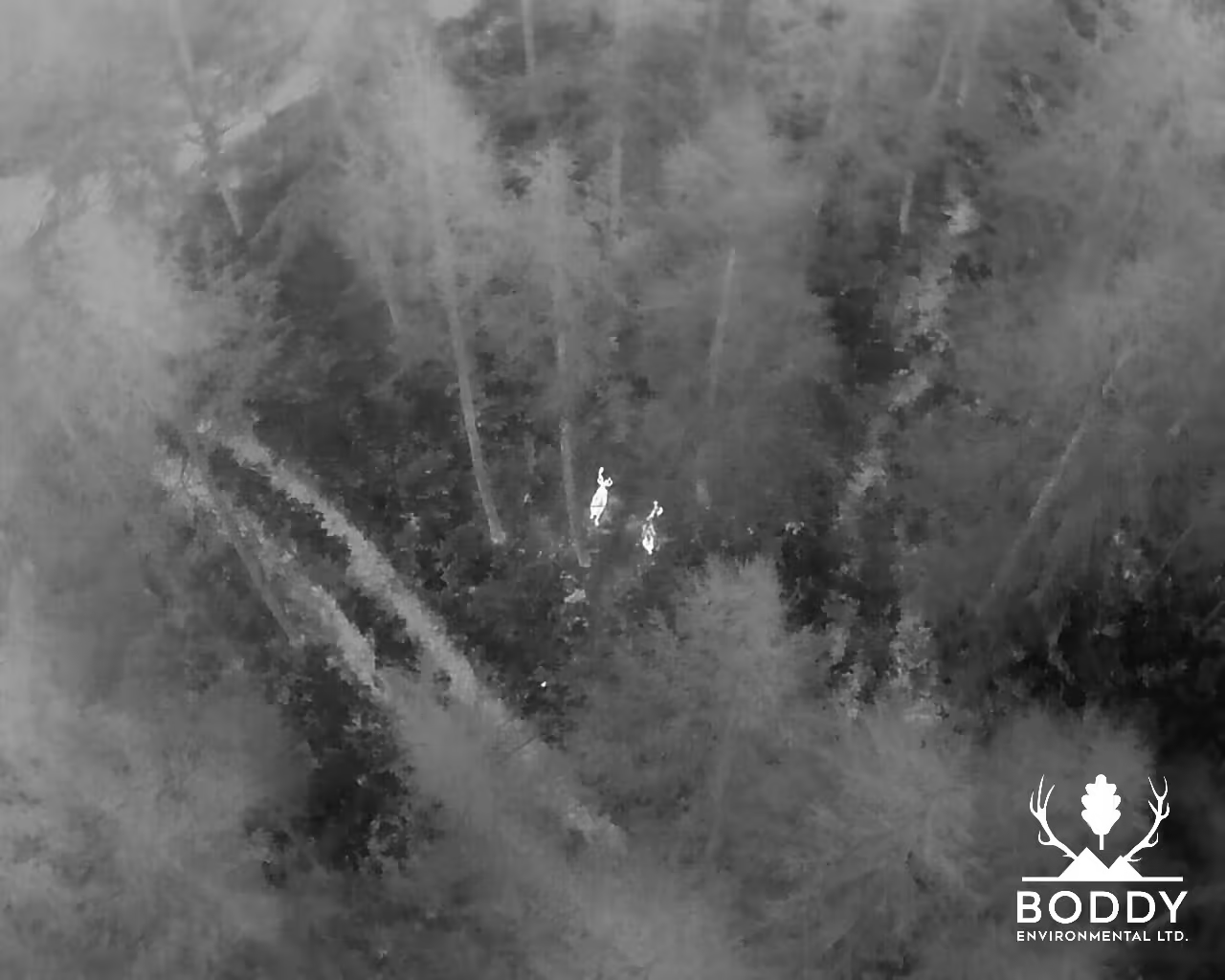
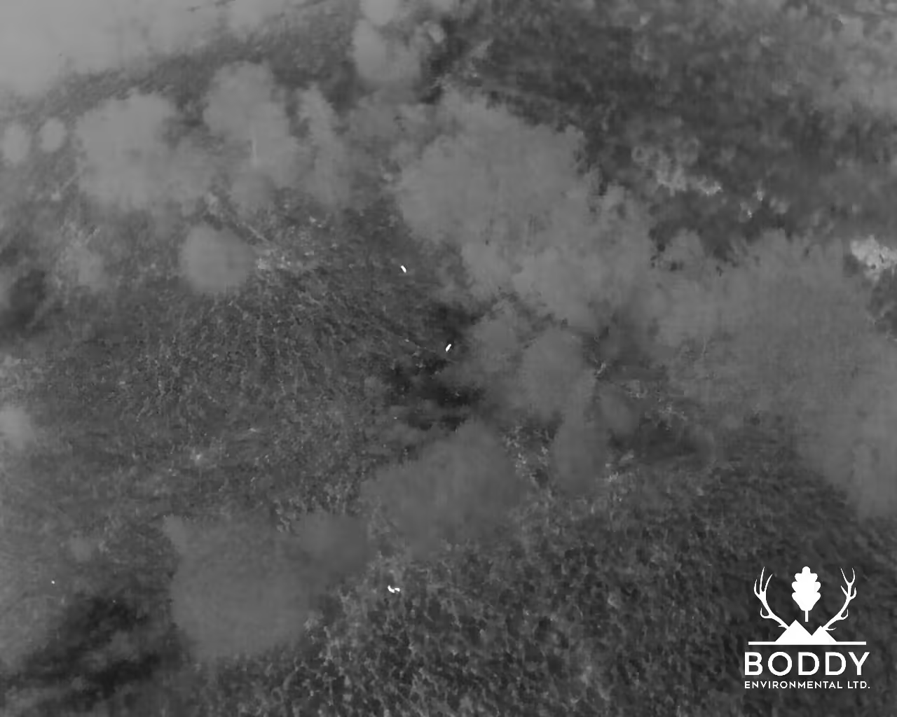
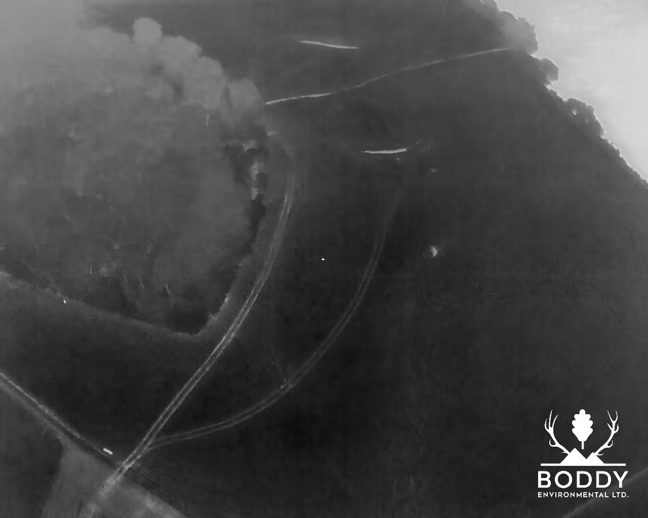
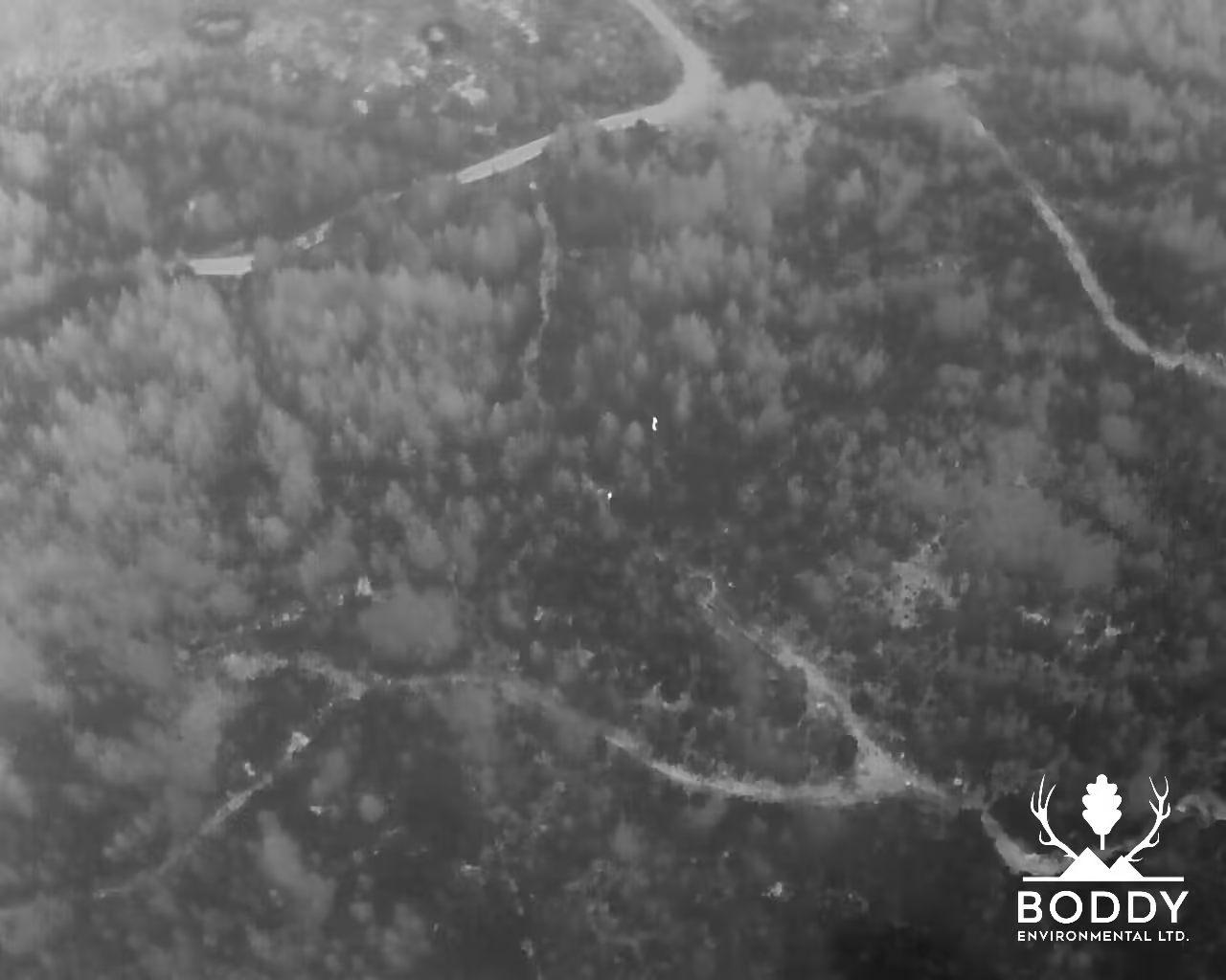
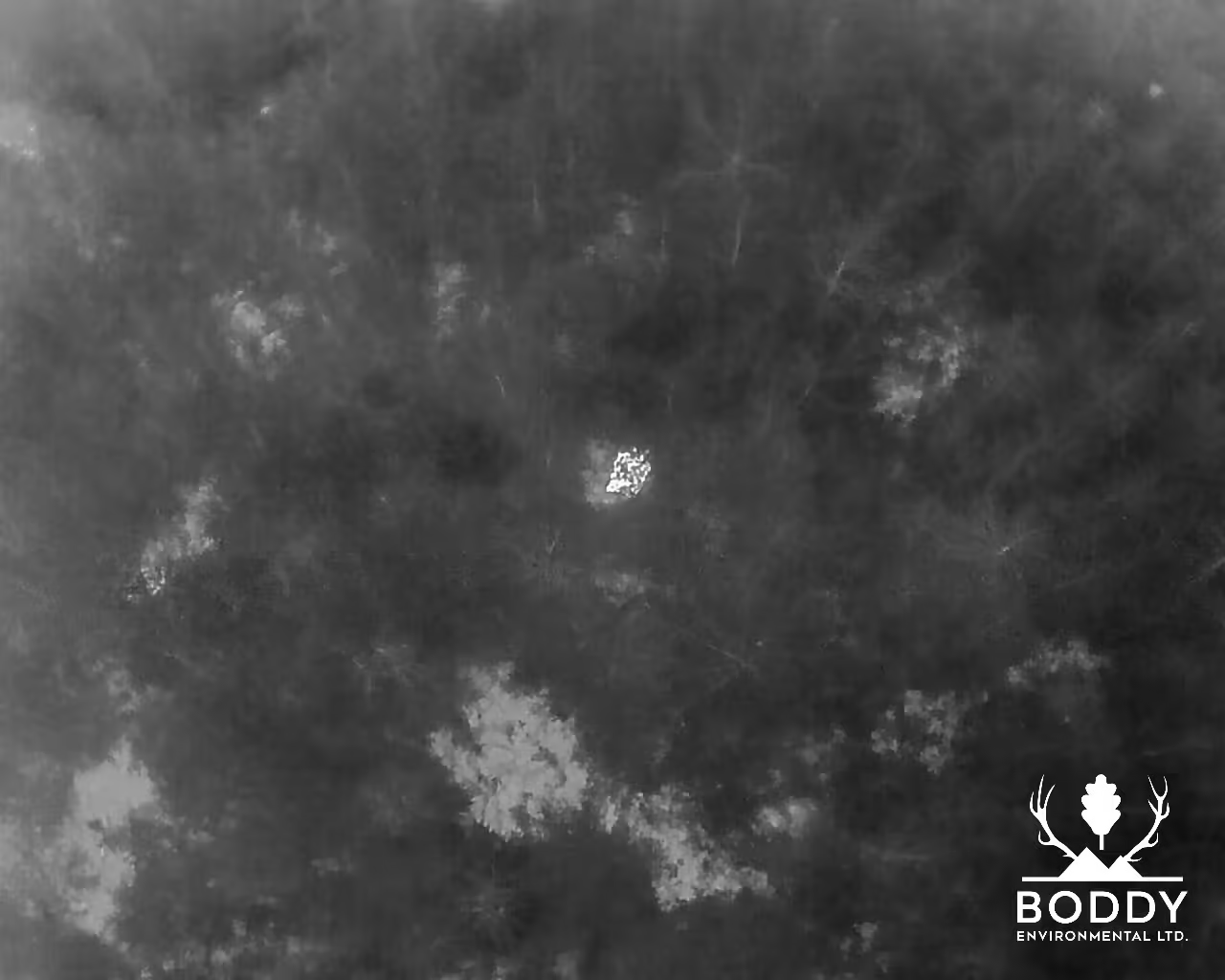
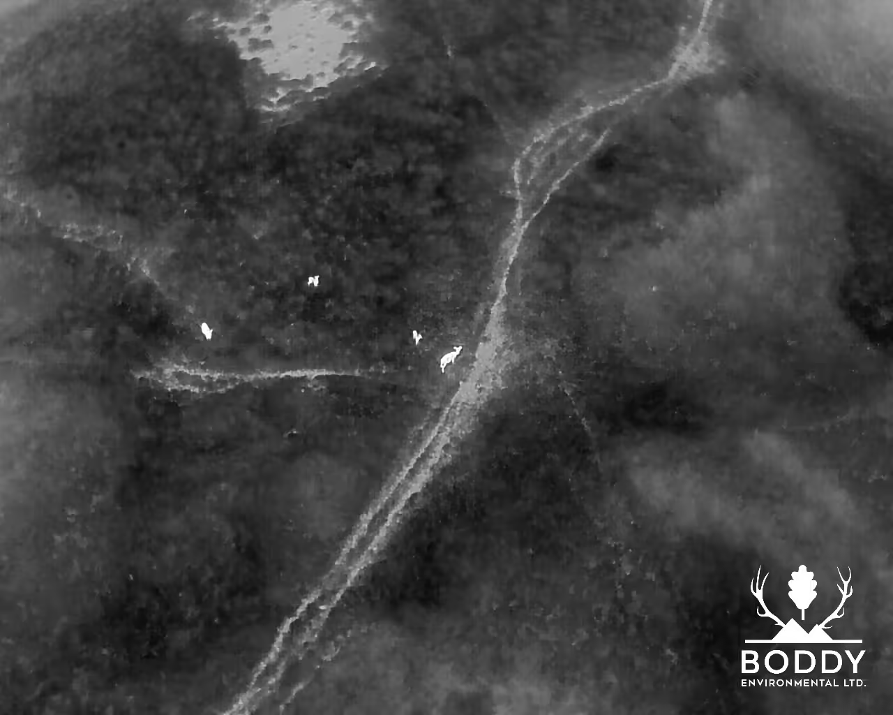
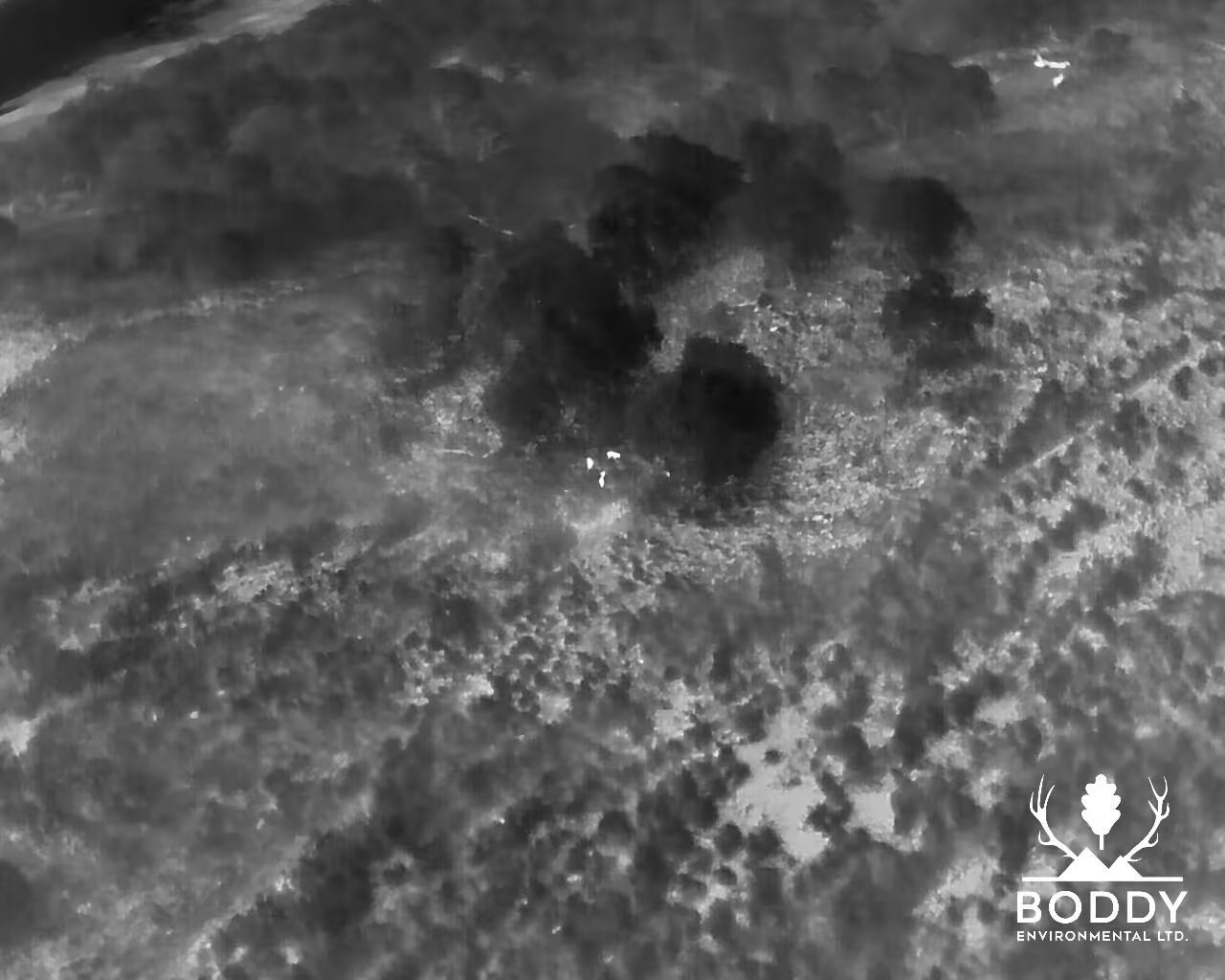
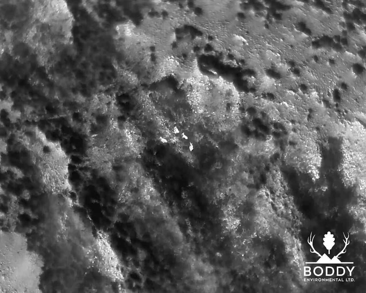
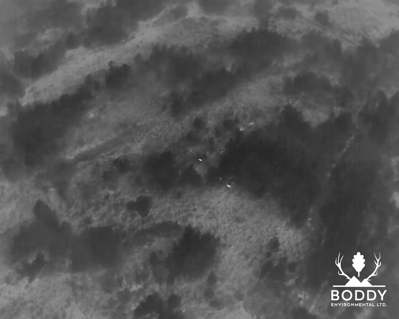
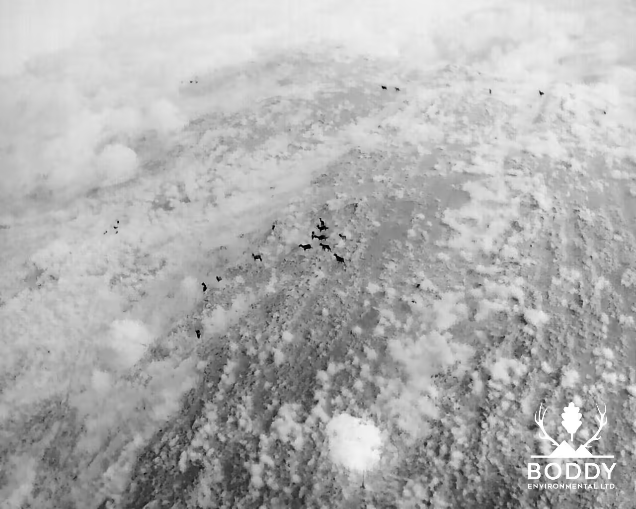
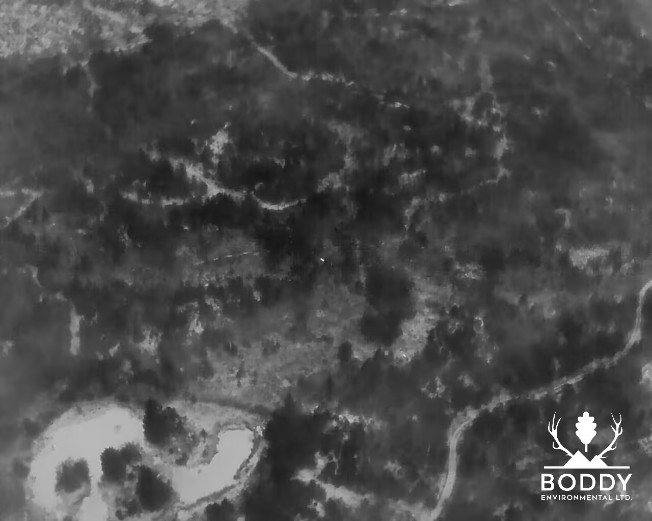
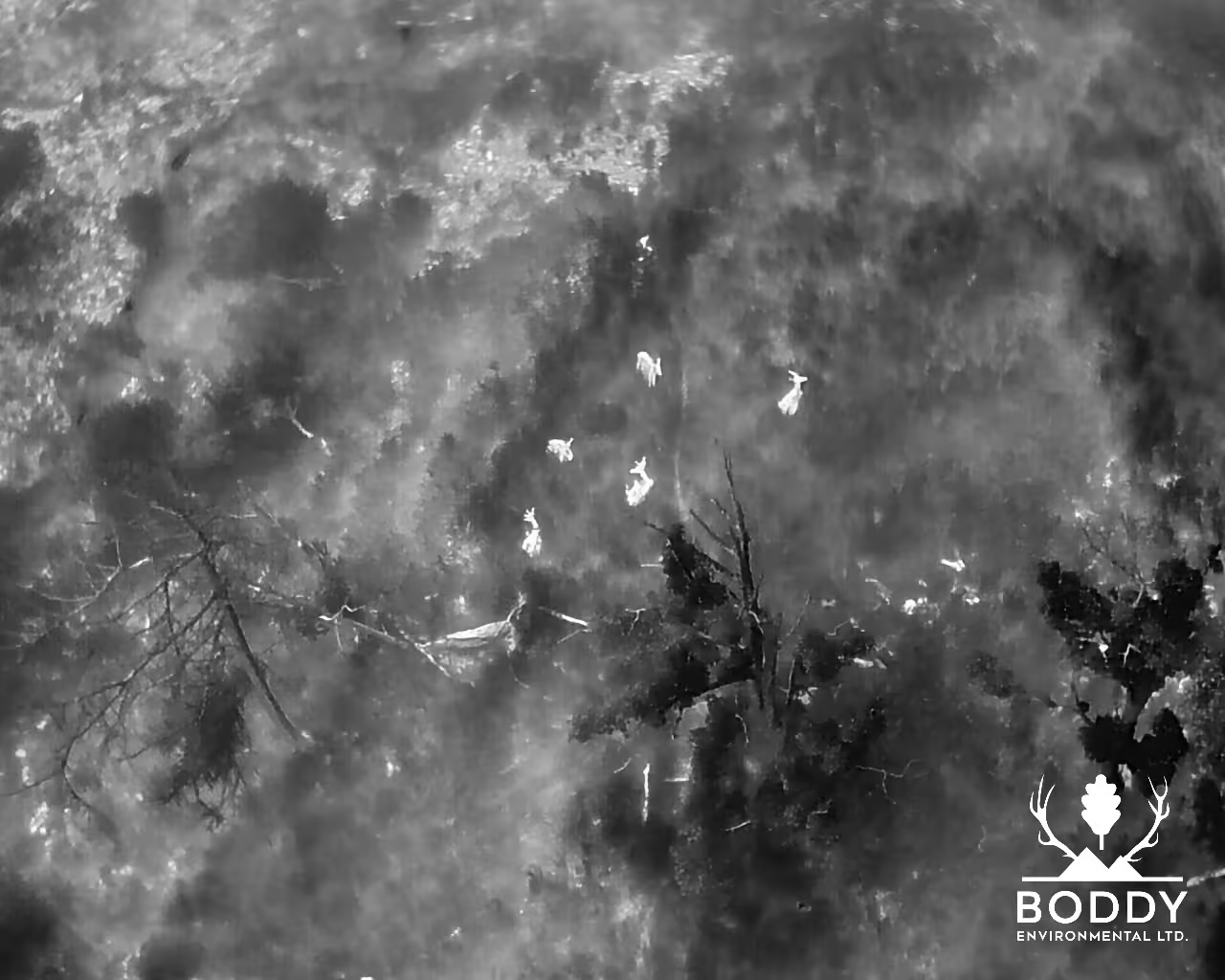
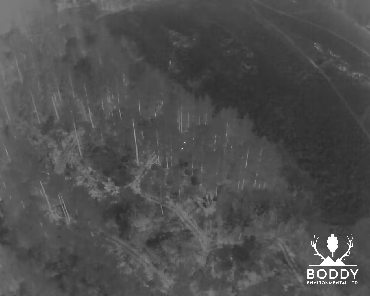
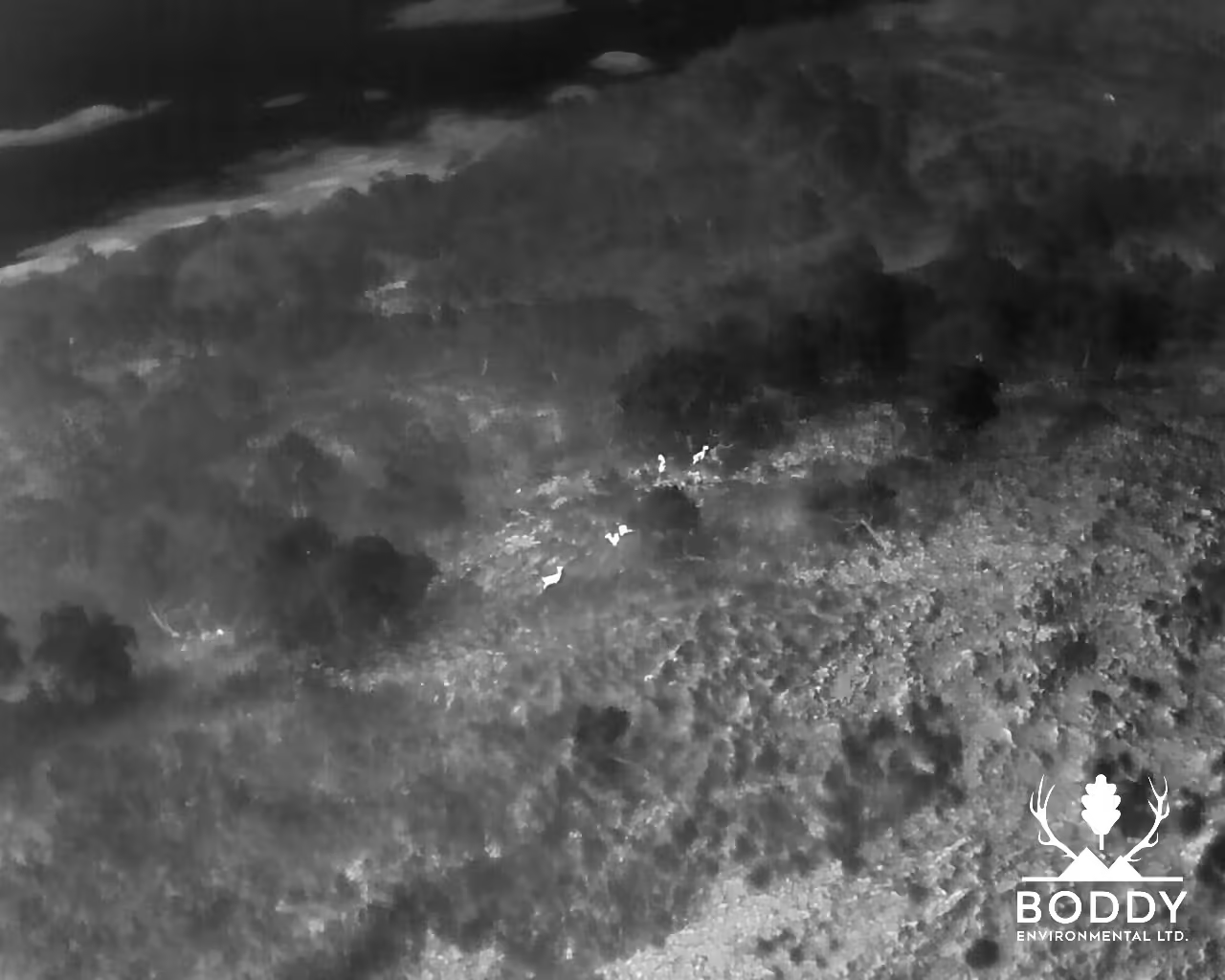
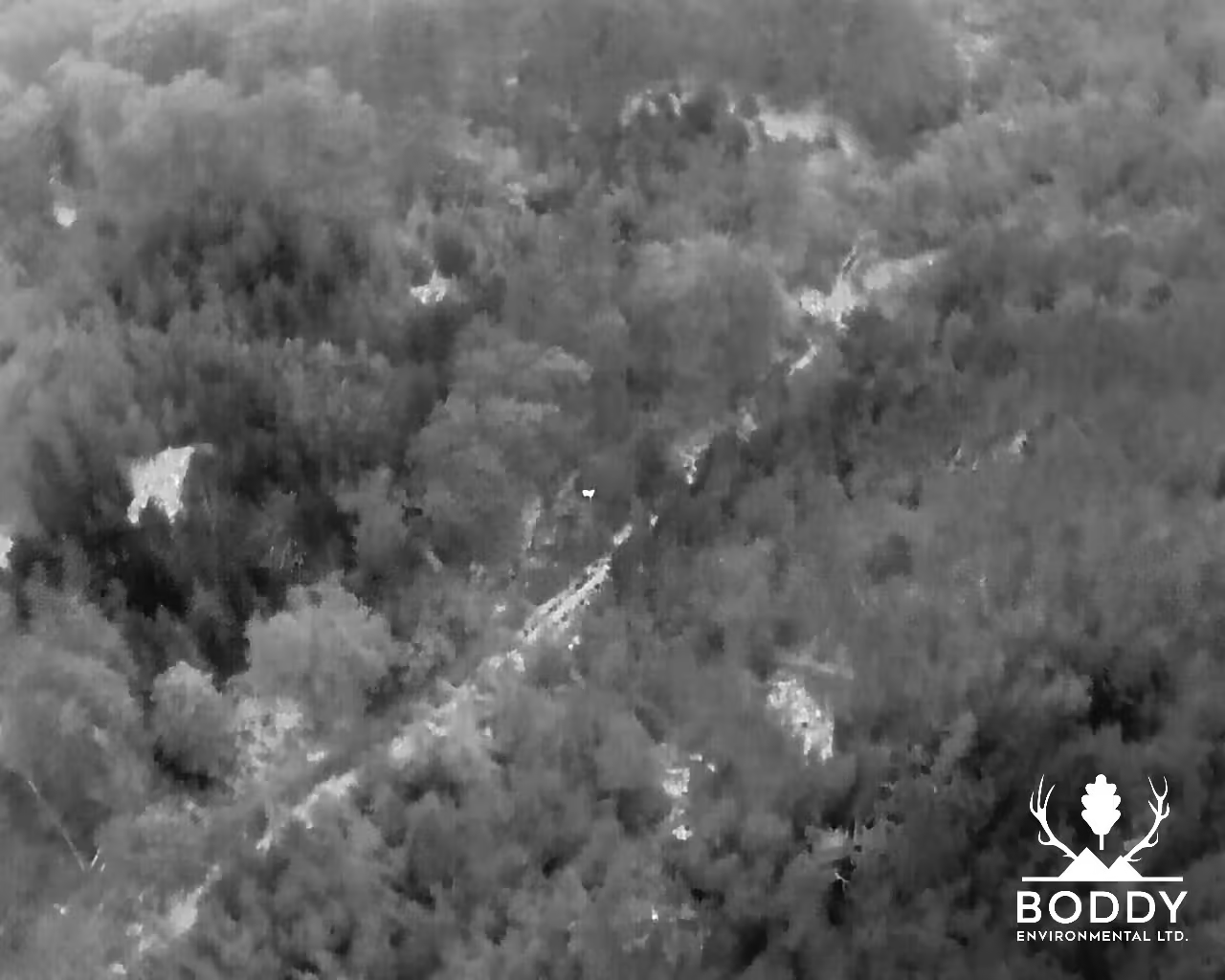
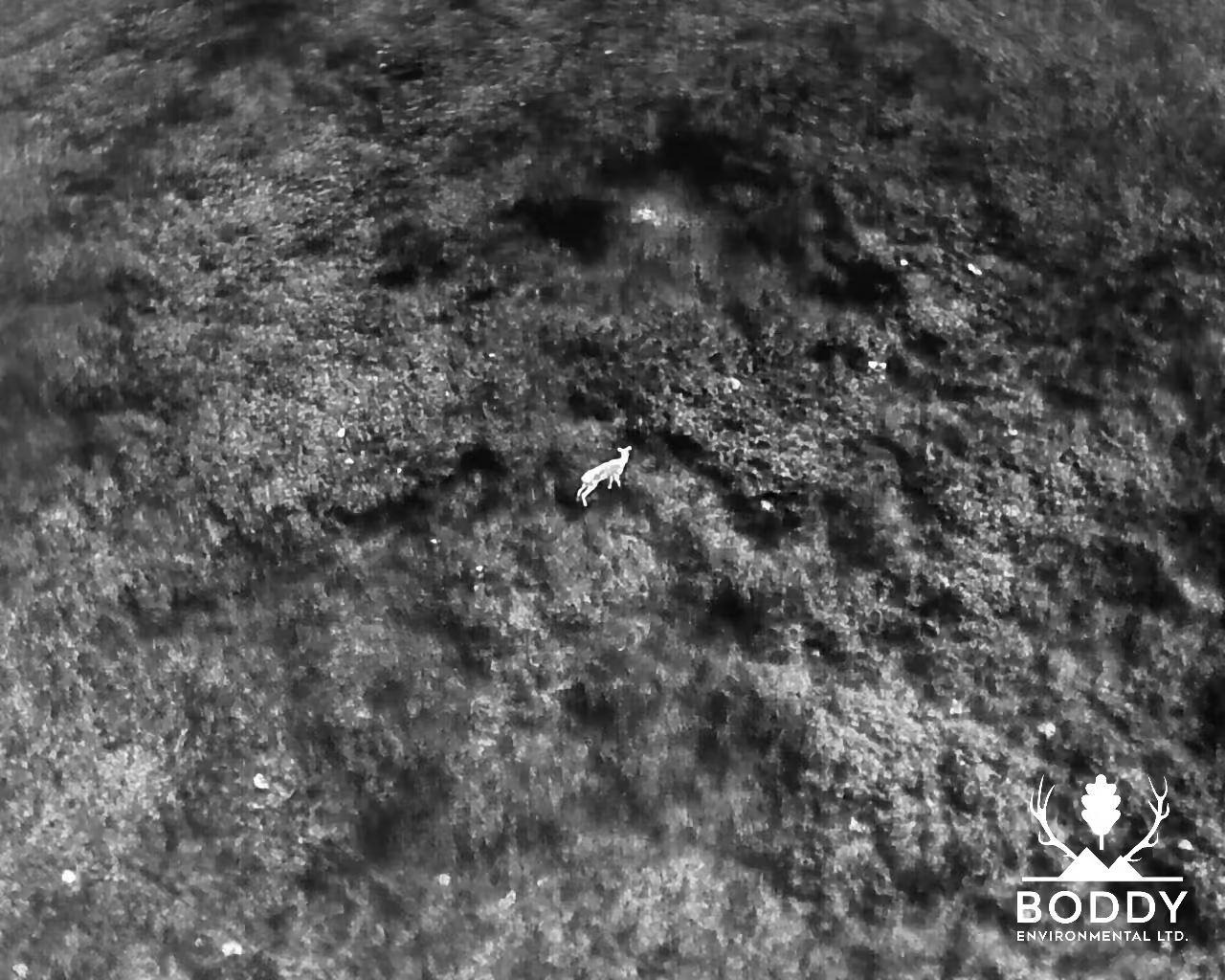
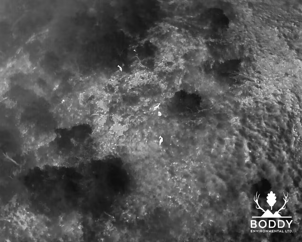
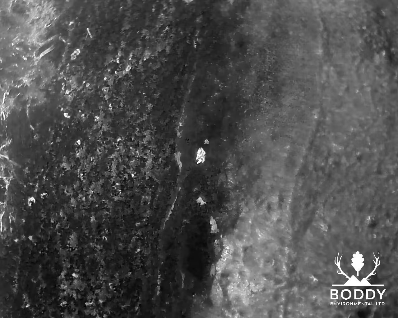
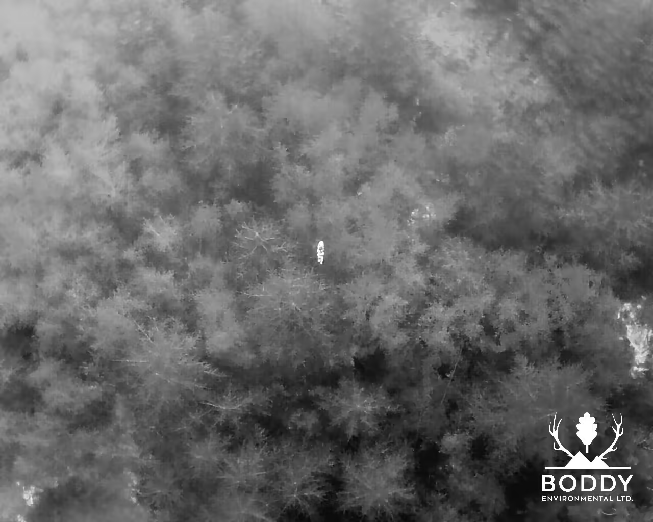
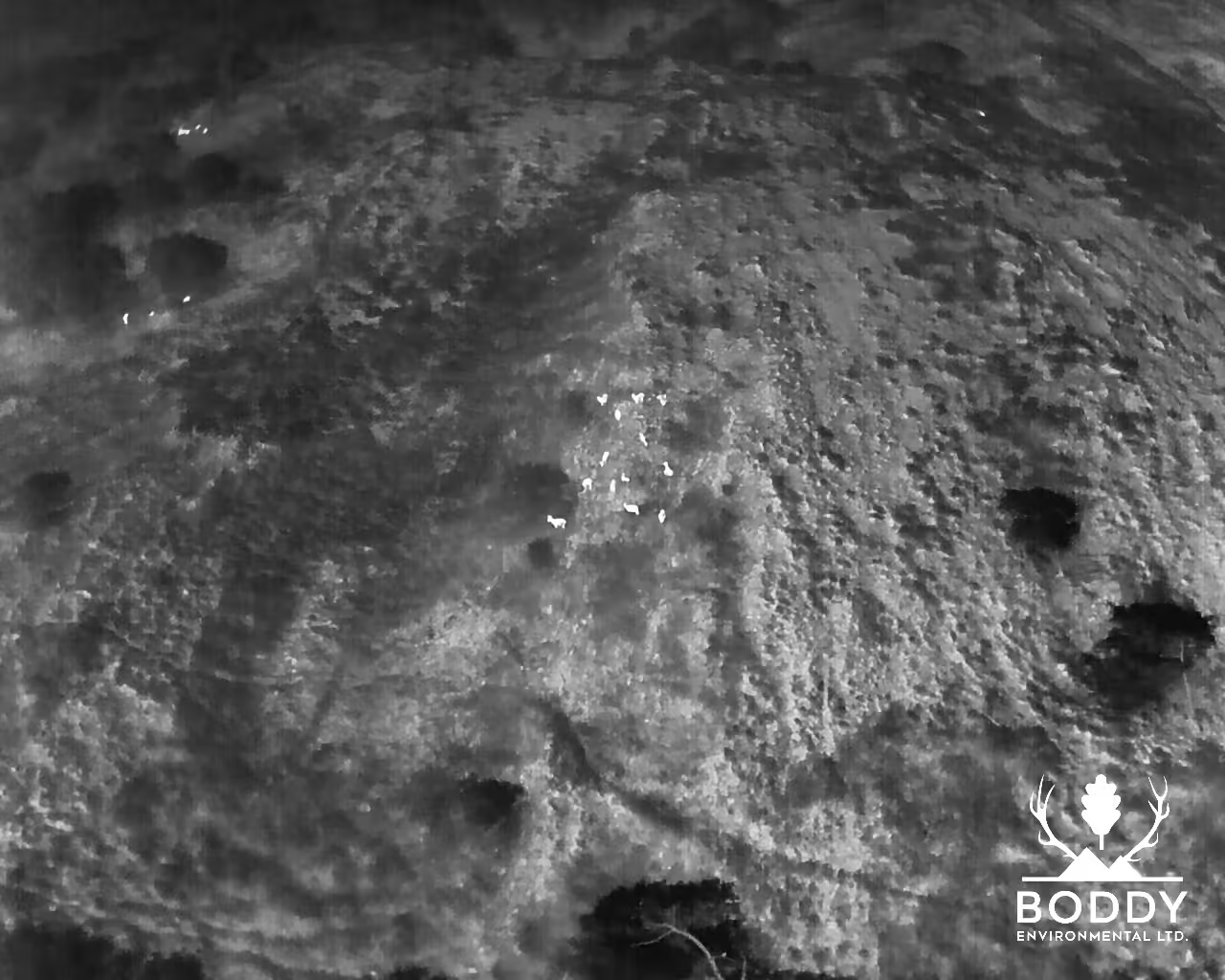
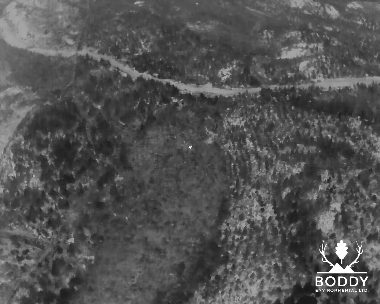
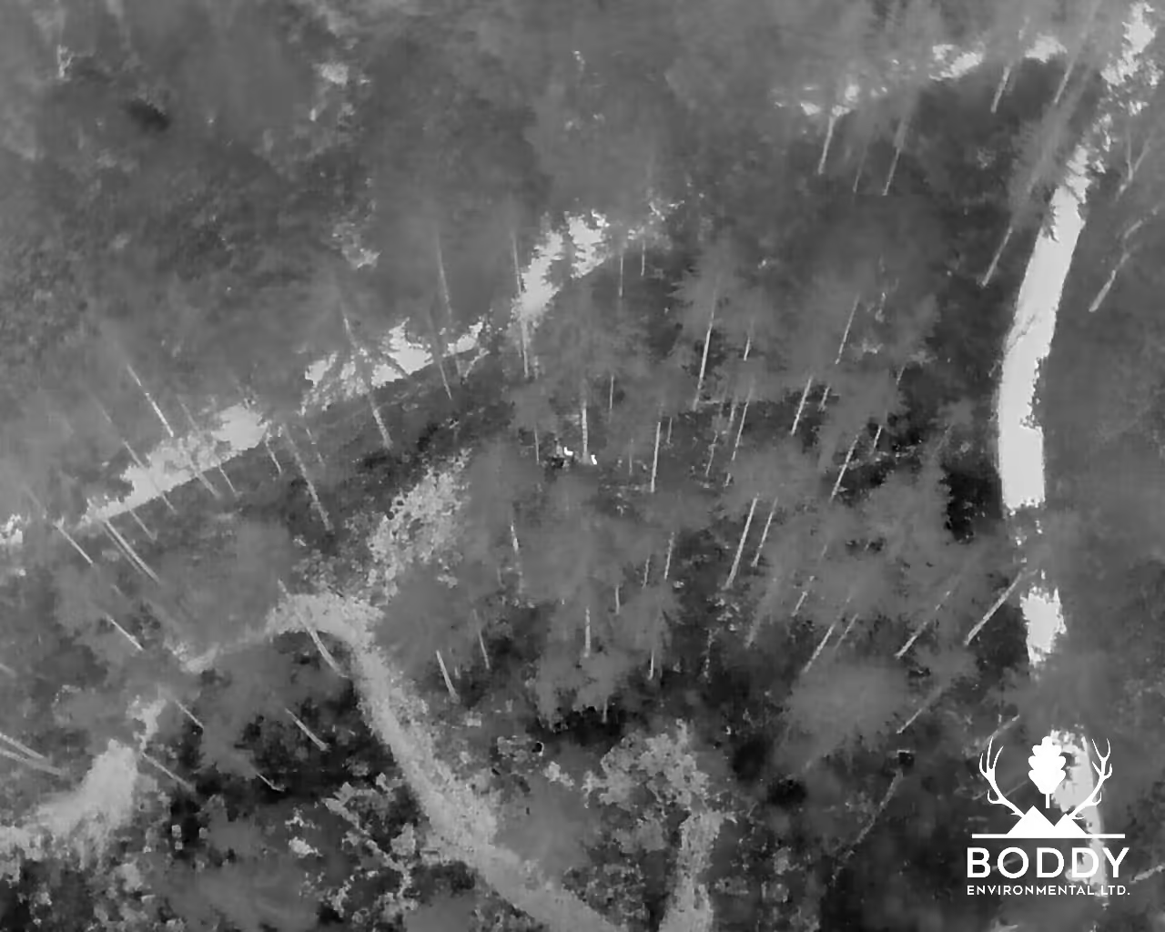
At Boddy Environmental Ltd., we deliver meticulous wildlife surveys and habitat assessments using state-of-the-art drone thermal imaging technology. Designed to provide accurate census data and actionable insights, our surveys support wildlife trusts, government agencies, animal welfare organisations, and land owners in protecting and managing wildlife populations.
Whether you need detailed deer surveys or habitat damage assessments, our expert team combines innovation and precision to deliver the most reliable results with minimal disturbance to the environment.
Our Wildlife Survey Methods
Precision Technology for Accurate Results
We use thermal imaging drones equipped with high-resolution cameras, GPS positioning, and real-time data transfer capabilities. This allows us to monitor:
- Wildlife populations with precision.
- Habitat conditions to identify damage and changes.
- Species behaviour with minimal disruption to their natural environment.
Minimal Disturbance, Maximum Insight
Our advanced drone surveys are highly efficient and non-invasive, ensuring minimal disruption to wildlife while providing a comprehensive overview of your site’s ecosystems.

Explore Our Key Wildlife Services
Deer Drone Surveys
Deer Damage Surveys
Deer Management Services
Other Wildlife Surveys and Management
Why choose us for wildlife surveys?
Expertise and Experience
Our seasoned specialists bring years of hands-on experience, delivering accurate, reliable wildlife surveys that meet the highest standards.
Innovative Technology
We integrate drone thermal imaging and real-time GIS mapping to produce results that are detailed, efficient, and actionable. drone imaging with GIS mapping to deliver quicker, more detailed insights for effective wildlife management.
Trusted by Leading Organisations
From wildlife trusts to government agencies, our clients rely on us to deliver data-driven insights for effective wildlife management.
Tailored Solutions for Your Goals
Whether you require population census reports, habitat damage assessments, or species monitoring, our surveys are customised to your project’s needs.
Ready to Protect and Manage Your Wildlife?
Phone Number
07949634379
samuel@boddyenvironmental.co.uk
Address
Casterton Suite Clawthorpe Hall Business Centre, Burton-In-Kendal, Carnforth, Lancs, United Kingdom, LA6 1NU
Hours
Monday: 8am - 6:30pm
Tuesday: 8am - 6:30pm
Wednesday: 8am - 6:30pm
Thursday: 8am - 6:30pm
Friday: 8am - 6:30pm
Saturday: 8am - 6:30pm
Sunday: Closed