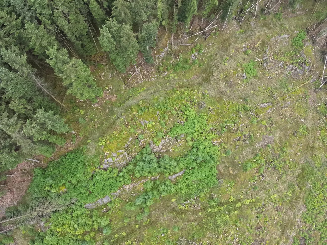
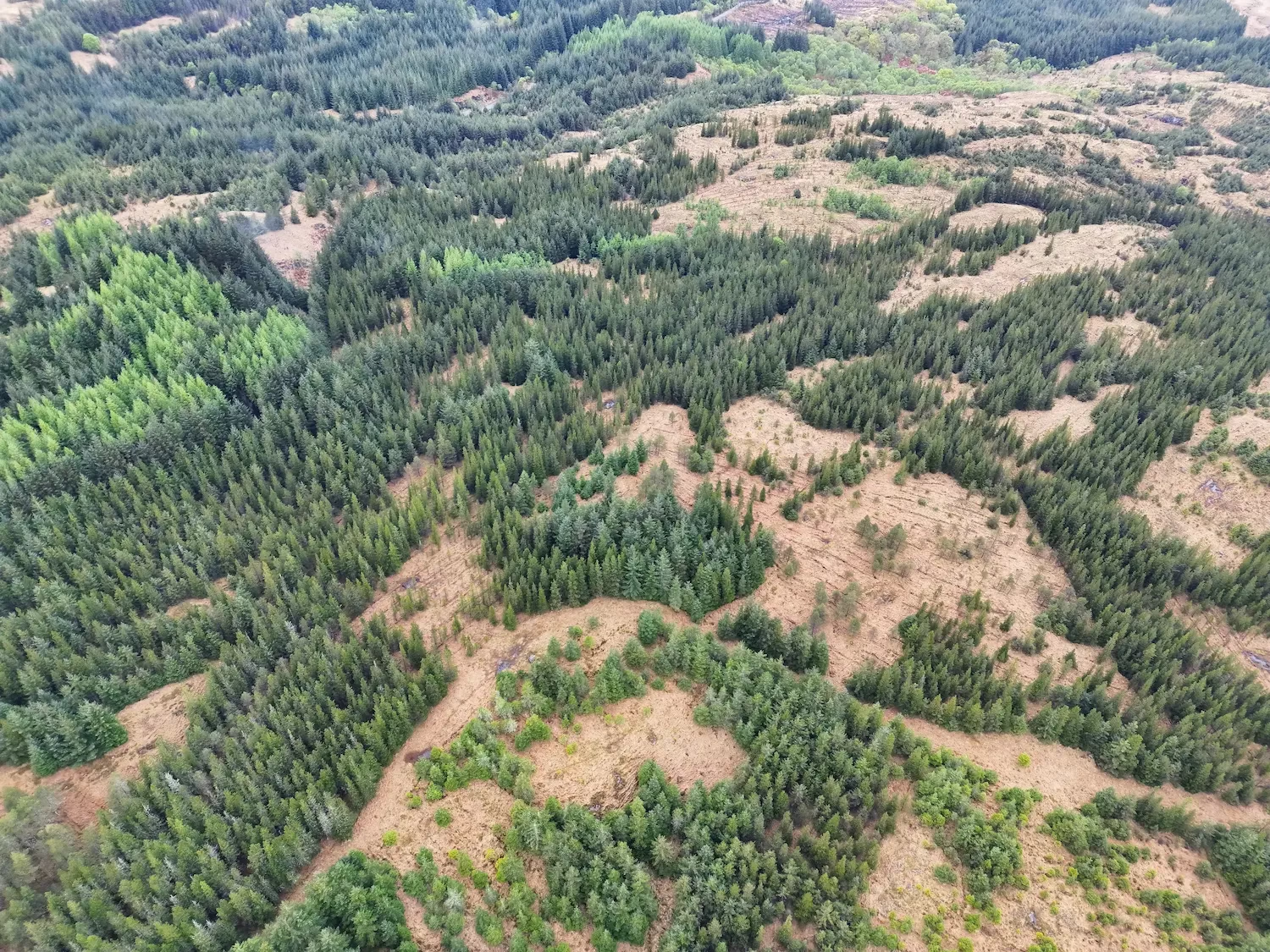
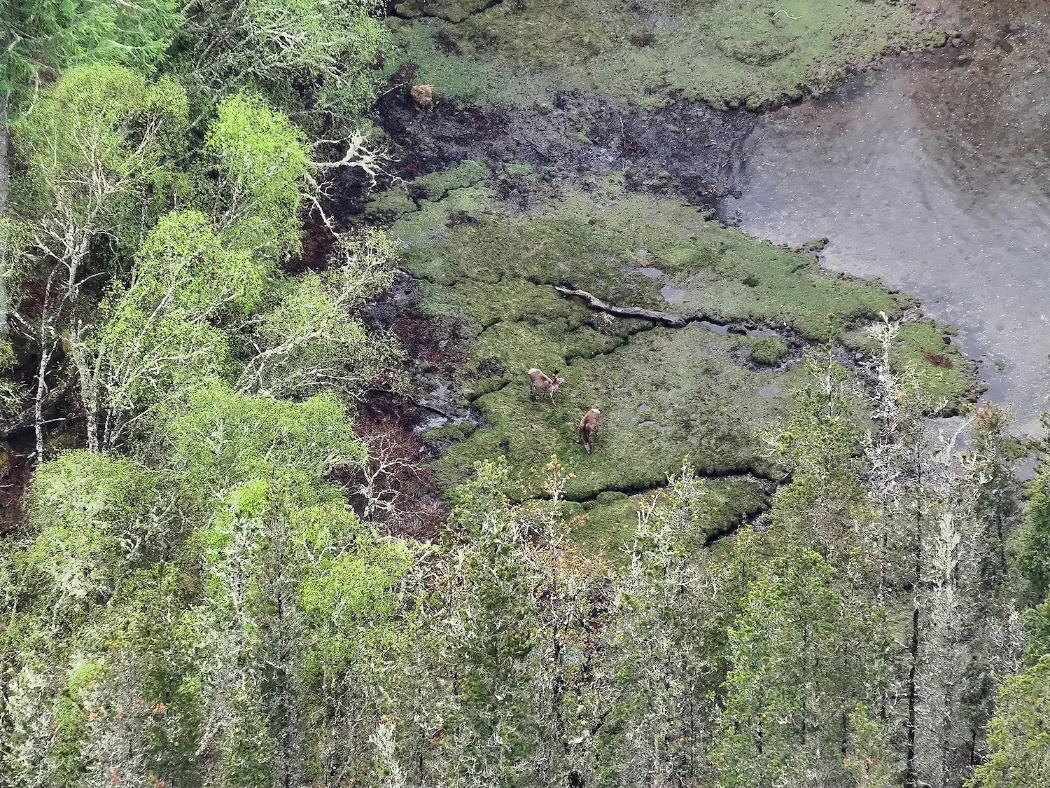
GIS technology for wildlife conservation has become essential for effective wildlife management, offering advanced tools for monitoring habitats, species populations, and ecosystem health. With advanced GIS systems like ArcGIS, organisations and landowners can collect valuable information to streamline conservation efforts and make data-driven decisions.
What is GIS and How Does It Help Wildlife Conservation?
Geographic Information Systems (GIS) is a technology for collecting, storing, analysing, and visualising geographical data. It creates digital maps to uncover patterns and trends, making it indispensable for wildlife conservation efforts. By integrating data from satellites, drones, and sensors, this technology enables managers to monitor habitats, track species, and analyse environmental changes effectively.
Specialised GIS software combines spatial and environmental data into detailed maps, offering insights into population trends, habitat health, and conservation areas. These tools empower projects ranging from deer surveys to rewilding efforts, ensuring data-driven decisions for better wildlife conservation.
Key Applications of GIS in Wildlife Conservation
1. Enhanced Wildlife Monitoring
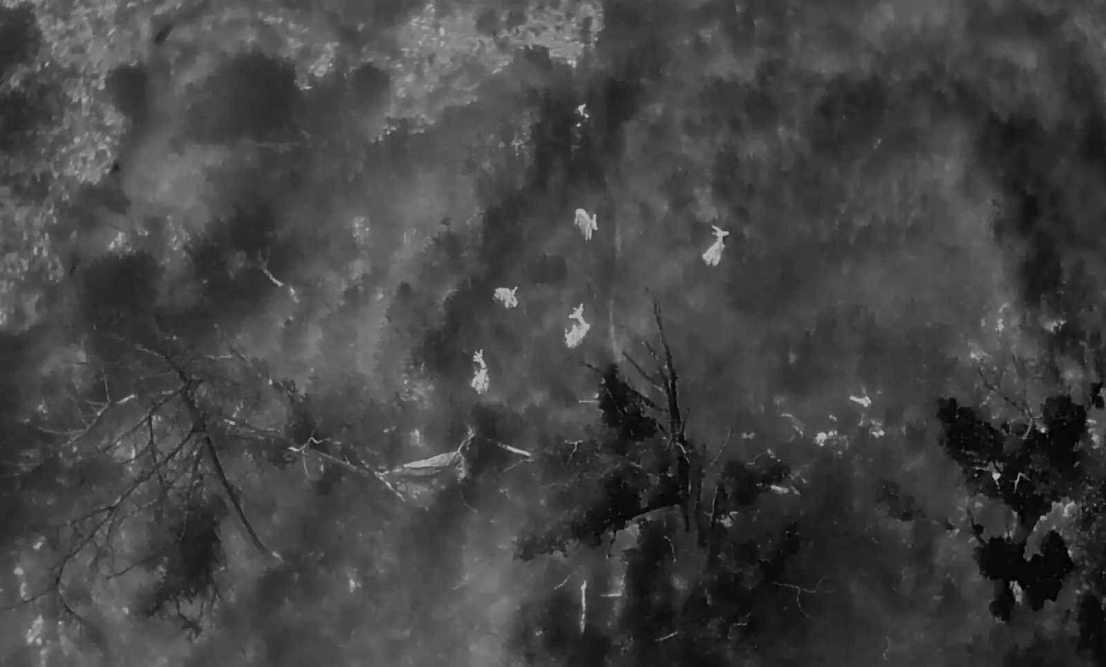
GIS technology enables real-time monitoring of wildlife populations and their habitats. Through integrated thermal imaging, GIS applications provide precise insights into species movements and habitat use, especially in hard-to-reach areas.
Applications include:
- Tracking deer migrations and habitat use
- Mapping wildlife corridors
- Monitoring biodiversity and ecosystem health
The best GIS software available delivers insights that guide effective decision support systems for developing and implementing conservation strategies.
2. Species Monitoring with GIS
GIS tools are invaluable for managing a variety of species, including:
- Deer: Monitoring populations and movement patterns
- Wild boar: Identifying damage-prone areas
- Feral goats: Tracking impacts on vegetation
- Red and grey squirrels: Assessing population densities
- Rabbits: Identifying burrowing areas and vegetation impact
- Red foxes: Tracking behaviours for improved management
- Livestock: Monitoring grazing areas and herd health
By providing detailed insights, GIS wildlife conservation solutions ensure efficient species management and conservation planning.
3. Deer Management with Specialised GIS
Effective deer management requires detailed data on populations and habitats. Specialised GIS tools enable precise analysis to identify areas where overpopulation causes ecological or agricultural damage.
Using thermal imaging drone surveys, GIS systems optimise strategies such as:
- Monitoring deer movements for sustainable population control
- Supporting targeted deer management services in the UK
These data-driven approaches reduce damage and support balanced ecosystems.
4. GIS and Drones in Wildlife Surveys
Drones paired with GIS analysis tools provide a game-changing combination for wildlife surveys. Drones equipped with thermal imaging sensors collect high-resolution data over vast areas, which allows users to create detailed visualisations and track species in challenging environments.
Benefits include:
- Accurate visualisation of wildlife distributions and densities
- Real-time monitoring of biodiversity hotspots
- Cost-effective solutions for large-scale surveys
5. Thermal Imaging for Nocturnal Wildlife
Thermal imaging is particularly useful for tracking nocturnal species like deer and feral wild boar. When combined with GIS tools, thermal data is transformed into detailed maps showing species behaviour and habitat use.
Applications include:
- Monitoring nocturnal activity patterns
- Enhancing species distribution analysis
- Improving understanding of habitat preferences
This integration supports more effective wildlife management strategies.
Benefits of GIS in Wildlife Conservation Consultancy
GIS wildlife tools are invaluable for wildlife consultancy services in the UK. They streamline data processing and data interpretation, enabling precise habitat assessments, environmental impact studies, and conservation planning, even in remote areas.
Key advantages include:
- Identifying wildlife corridors and critical habitats
- Conducting habitat surveys and restoration assessments
- Delivering valuable insights to support sustainable land-use strategies through decision-support systems
ArcGIS software offers customisable platforms for handling complex datasets and generating actionable maps that drive informed conservation decisions.
Habitat Mapping with GIS Wildlife Conservation Tools
GIS technology excels in mapping habitats and ecosystems, integrating drone and sensor data to analyse biodiversity and environmental health.
Applications include:
- Assessing habitat conditions and risks
- Identifying conservation and restoration opportunities
- Monitoring vegetation and ecological changes
These maps offer insights to protect vulnerable species and maintain ecosystem balance.
Partner with Boddy Environmental Ltd. for GIS Wildlife Conservation
At Boddy Environmental Ltd., we specialise in advanced GIS software and drone surveying for wildlife and habitat preservation. Our expertise with leading GIS mapping tools, including ArcGIS, ensures accurate, actionable data for your projects. Explore our Peatland Restoration & Nature Restoration Drone Mapping Services for comprehensive GIS-driven solutions.
Contact Us for GIS Wildlife Conservation Services
If you need comprehensive GIS and drone services, Boddy Environmental Ltd. delivers solutions tailored to your conservation and wildlife management needs. From thermal drone deer surveys to habitat analysis, we provide the tools and expertise to protect biodiversity and achieve your goals.


