In the ever-evolving field of wildlife management, technology plays a pivotal role in understanding and preserving our natural habitats. One of the most transformative tools in this space is ArcGIS Software.
This blog explores how ArcGIS Software is revolutionising wildlife management through advanced mapping, data analysis, and decision-making capabilities.
What is ArcGIS Software?
Overview
ArcGIS Software is a powerful geospatial platform developed by Esri. It enables users to collect, manage, and analyse spatial data, providing valuable insights into various geographic phenomena. This software is integral in sectors like urban planning, environmental science, and, most importantly, wildlife management.
Core Features
ArcGIS boasts a range of features that make it indispensable for wildlife management:
- Spatial Analysis: ArcGIS maps allows for comprehensive spatial analysis, enabling users to identify patterns and relationships in the data.
- Mapping: The software excels in creating detailed and interactive maps, essential for visualising wildlife habitats and movements.
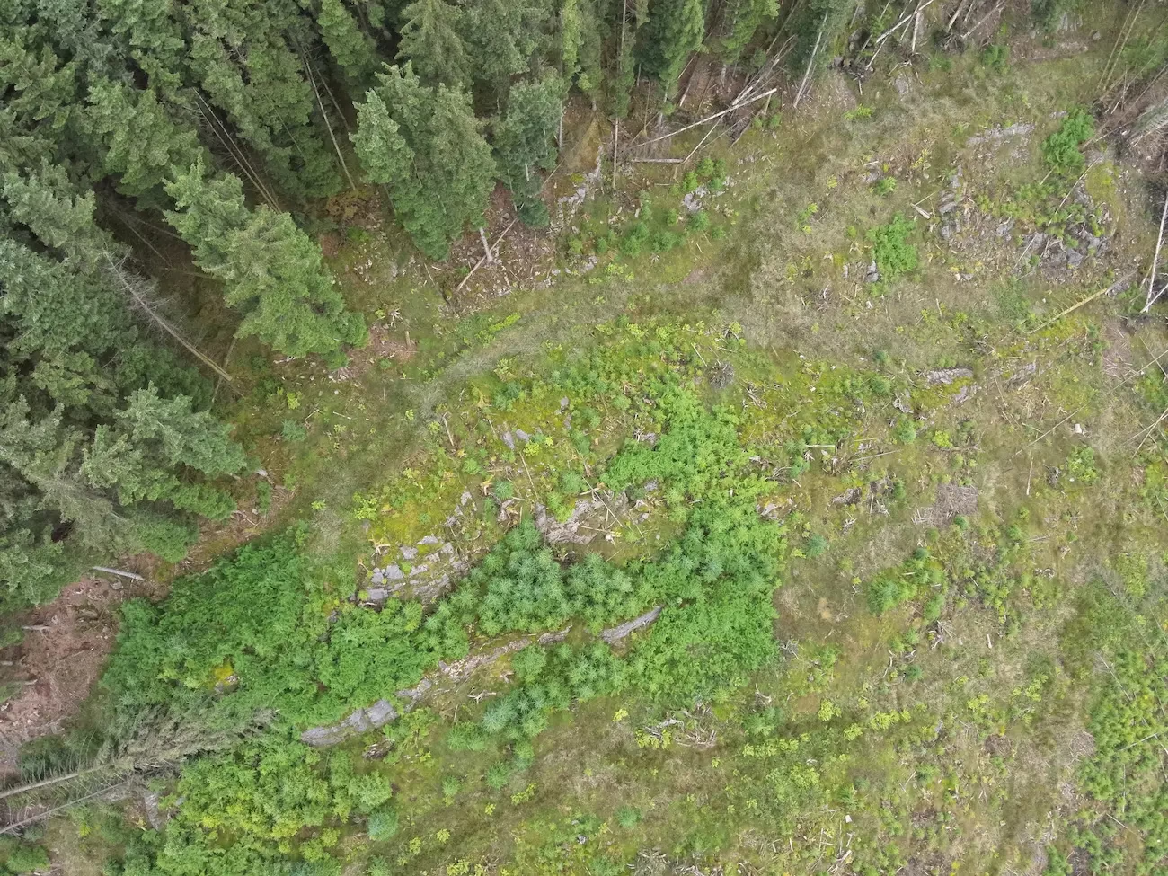
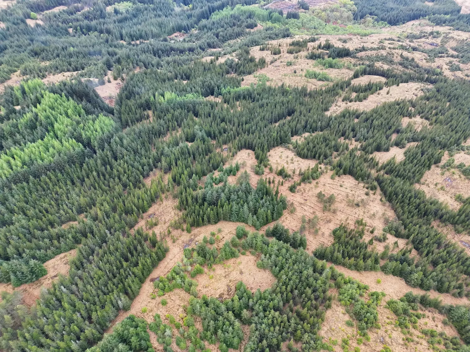
- Data Integration: ArcGIS maps integrate various types of data, including satellite imagery, drone surveys, and LiDAR maps, to provide a holistic view of the environment.
- Workflow Automation: ArcGIS maps streamlines workflows by automating repetitive tasks, enhancing efficiency in data processing and analysis.
- Advanced Analytics: The platform offers powerful analytics tools that enable users to perform complex data modelling and predictive analysis.
- Data Editing: With robust data editing capabilities, users can easily update and maintain their datasets, ensuring accuracy and reliability.
- Customisable Dashboards: The use of customisable dashboards allows for real-time monitoring and visualisation of key metrics, aiding in dynamic decision-making processes.
- Cartographic Excellence: ArcGIS maps is renowned for its cartographic capabilities, allowing users to create visually compelling and informative maps that support effective communication of spatial data.
Applications in Wildlife Management
Mapping Wildlife Habitats
Mapping is a fundamental aspect of wildlife management, and ArcGIS Software excels in this domain. By leveraging GIS mapping software, conservationists can visualise and analyse wildlife habitats in unprecedented detail. This capability aids in identifying critical areas that require protection and in monitoring changes in habitat conditions over time.
Analysing Animal Movements
Understanding animal movement patterns is crucial for effective wildlife management. ArcGIS mapping enables the tracking and analysis of these movements by integrating data from various sources, including GPS collars and drone surveys. This data helps wildlife managers make informed decisions about habitat connectivity and the impacts of human activities on wildlife corridors.
Real-Time Monitoring
The ability to monitor wildlife populations in real time is a significant advantage of using ArcGIS maps. This capability allows for immediate responses to emerging threats, such as poaching or habitat destruction, ensuring that conservation efforts are timely and effective.
Benefits of Using ArcGIS in Wildlife Conservation
Improved Decision Making
ArcGIS Software supports data-driven decision-making by providing accurate and up-to-date information. Wildlife managers can use this data to make informed decisions about conservation strategies, habitat management, and resource allocation. The ability to analyse complex datasets and visualise the results simplifies the decision-making process.
Enhanced Data Visualisation
One of the standout features of ArcGIS is its ability to visualise complex data in an intuitive and accessible manner. This visualisation capability is invaluable in wildlife management, as it allows stakeholders to see the bigger picture and understand the intricate relationships between different environmental factors. Whether it’s mapping wildlife management units or analysing LiDAR maps in the UK, ArcGIS software provides clear and actionable insights.
Streamlined Data Collection and Management
Efficient data collection and data management are critical components of successful wildlife conservation. ArcGIS streamlines these processes by providing tools for data editing and updating datasets. This ensures that all relevant information is accurate and readily available for analysis and decision-making.
Customisable Dashboards
The use of customisable dashboards in ArcGIS software allows wildlife managers to monitor key metrics and indicators in a centralised location. These dashboards can display real-time data, making it easier to track progress and adapt strategies as needed.
The Future of ArcGIS in Wildlife Management
As technology continues to advance, the future of ArcGIS in wildlife management looks promising. Innovations in quantum GIS software and photogrammetry programs are expected to enhance the capabilities of ArcGIS, making it even more effective in conservation efforts. Additionally, the integration of drone surveying companies and LiDAR mapping technologies will further improve the accuracy and efficiency of wildlife management practices.
Expanding Access and Capabilities
As more organisations gain access to ArcGIS maps, the potential for collaborative conservation efforts increases. ArcGIS software supports a wide range of applications, from simple mapping workflows to complex analytics and data modelling, ensuring that it can meet the evolving needs of wildlife management professionals.
How Boddy Environmental Ltd. utilises ArcGIS Software to Enhance Wildlife Management
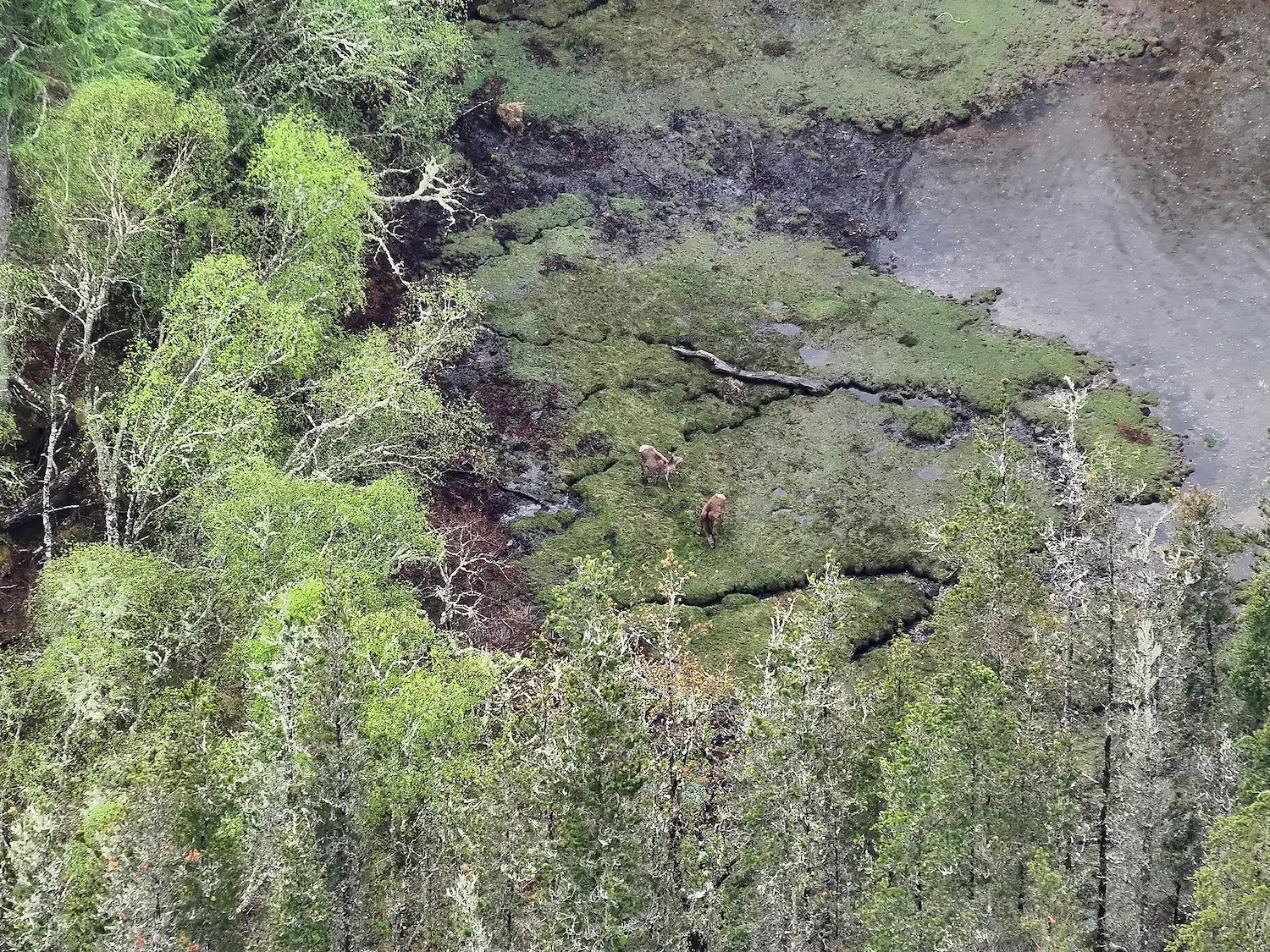
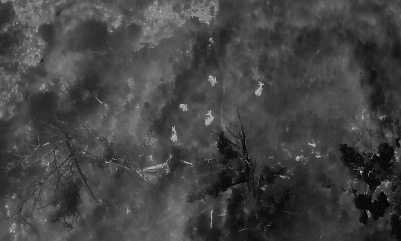
At Boddy Environmental Ltd., we enhance our wildlife surveys by using ArcGIS Software, built with cutting-edge tools for mapping and analysis. By integrating ArcGIS with our advanced thermal drone deer surveys, we provide detailed geographic context and spatial data, allowing us to assess and monitor deer movements and their impact on habitats. ArcGIS enables us to capture and store data online, facilitating seamless data recording, analysis, and sharing among stakeholders. This centralised system ensures that accurate data is easily accessible, securely stored, and usable for long-term wildlife management planning.
By leveraging this technology, we are able to share data in a new way, providing detailed spatial insights and historical data tracking to support informed decision-making. ArcGIS also optimises our business practices by enhancing our approach to wildlife management, helping us mitigate wildlife damage and preserve biodiversity. To learn more about how we can assist with your wildlife management needs, explore our full range of services.
Conclusion
In conclusion, ArcGIS Software is a game-changer in the field of wildlife management. Its robust features and applications enable conservationists to better understand and protect our natural world. As we look to the future, ArcGIS will undoubtedly continue to play a crucial role in preserving biodiversity and ensuring the sustainability of our ecosystems.
To explore how Boddy Environmental Ltd. can assist with your wildlife management needs using cutting-edge technologies like ArcGIS Software, view our services.


