Accurate deer censuses are essential for effective wildlife management and conservation. These surveys provide valuable data for managing populations, protecting habitats, and making informed decisions. Traditionally, helicopter-based counting has been the primary method for conducting aerial surveys. However, advancements in technology have introduced drone surveys as a modern alternative.
This blog explores the differences between these two methods, focusing on their accuracy, cost, environmental impact, and future potential.
The Traditional Approach: Helicopter Deer Counting
Methodology
Helicopter deer counting involves trained observers or deer managers flying over designated survey areas to count and record wildlife populations. Equipped with binoculars and other optical tools, teams often rely on manual data recording during flights.
Advantages
- Broader Area Coverage: Helicopters can cover vast terrains quickly, making them suitable for large-scale surveys.
- Established Reliability: Decades of use have refined techniques, providing a sense of trust in the data collected.
- Human Observation: Observers can make immediate decisions or adjustments based on real-time visual inputs.
Challenges
- High Costs: Operating helicopters, including fuel, maintenance, and personnel, is expensive.
- Environmental Disruption: Noise disturbances can affect wildlife, leading to inaccurate counts or stress to animals.
- Safety Risks: Pilots and observers face risks associated with flying at low altitudes and in challenging environments.
The Modern Solution: Drone Wildlife Counting
Methodology
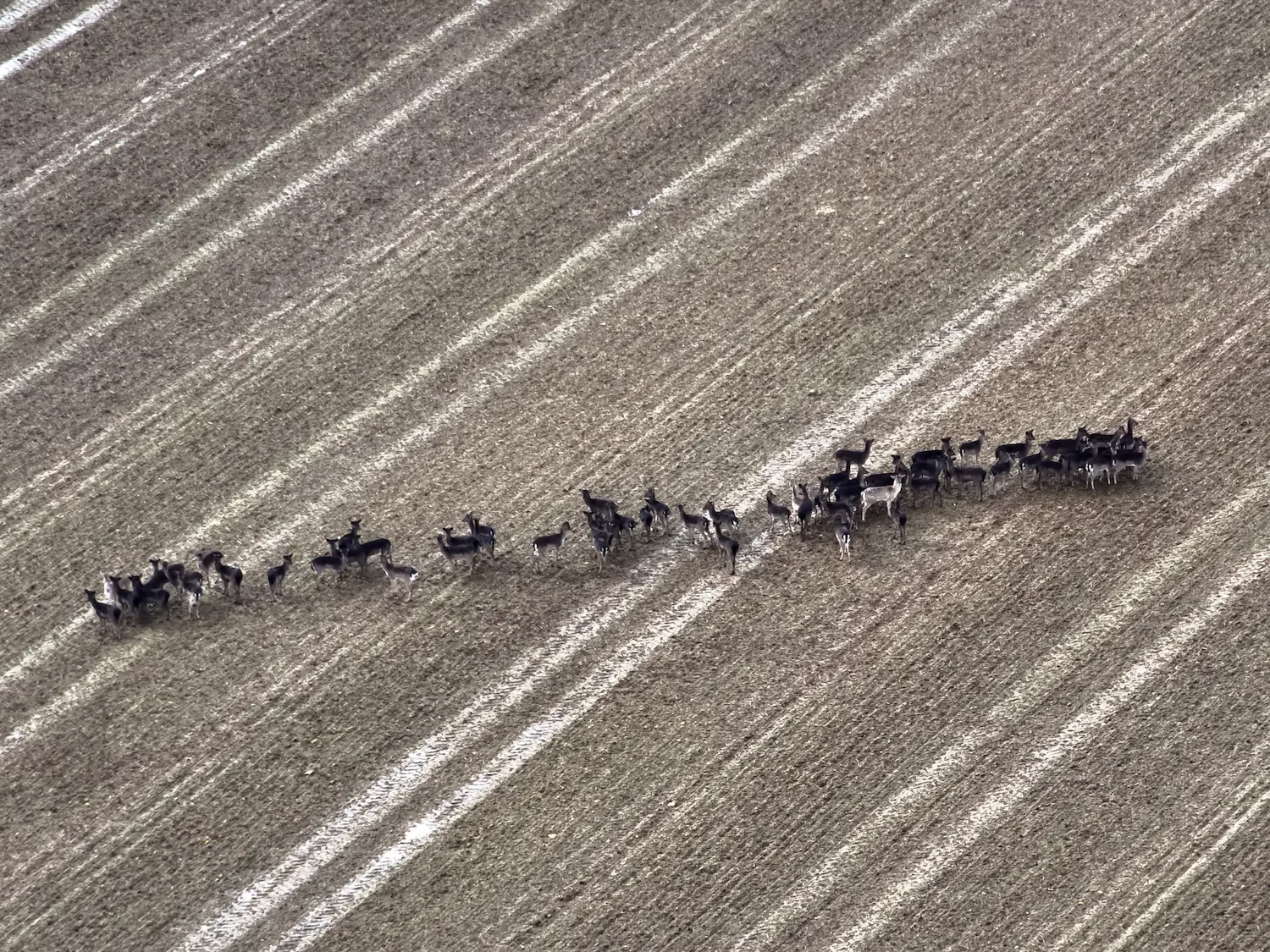
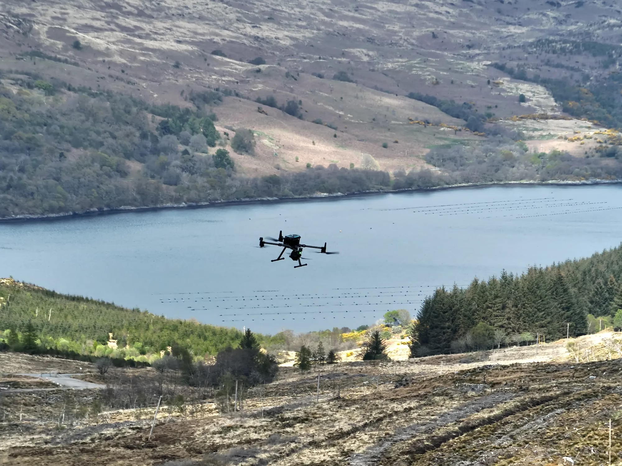
Drone deer counting uses state of the art survey drones equipped with thermal imaging technology. These unmanned aerial vehicles (UAVs) fly in pre-defined areas to capture high-resolution thermal and RBG images, and thermal data, which are analysed in real-time and post-survey to ensure accurate population counts.
Advantages
- Lower Cost: Drones are significantly cheaper to operate compared to helicopters,as they run on rechargeable batteries and do not require fuel.
- Reduced Environmental Impact: Drones operate quietly, reducing disturbances to deer and preventing skewed population estimates caused by stress-induced movement.
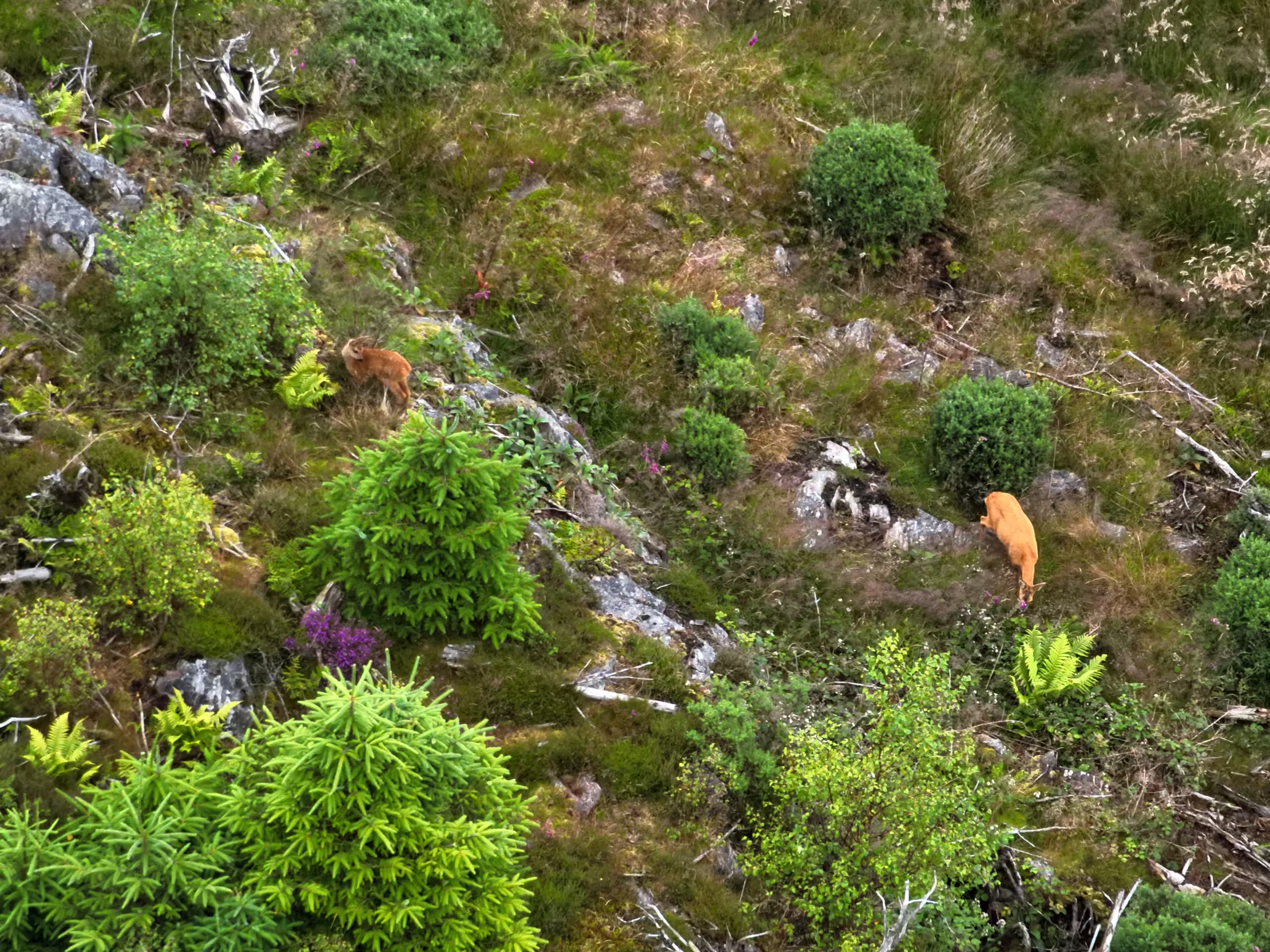
- Higher Accuracy: Advanced thermal imaging cameras provide highly accurate data, even in dense vegetation or nocturnal environments from over 2km away.
- Flexibility: Drones can be deployed quickly and navigate regions that helicopters cannot safely access, offering a broader range of survey opportunities.
- Data Integration with ArcGIS: Our drone surveys utilise ArcGIS to capture and store data in the cloud. This allows for seamless real-time data recording, analysis, and sharing among conservation teams while maintaining long-term wildlife management insights.
Challenges
- Battery Life: One limitation of drones is their relatively short battery life, which can restrict flight duration and require frequent recharging or swapping of batteries.
- Weather Dependence: Adverse weather conditions can impact drone operations, especially with thermal imaging. Heavy rain, fog, or bright sunshine can interfere with thermal sensors, reducing their effectiveness in detecting wildlife. These weather-related challenges may lead to delays or limited survey coverage.
- Regulatory Hurdles: Compliance with aviation laws and obtaining necessary permits can be complex.
Comparing Accuracy and Cost
When it comes to accuracy, drone surveys have a clear edge. Technologies like high resolution thermal imaging cameras enable precise data collection, even in challenging environments. Helicopter surveys, while reliable, come with limitations such as inability to survey dense woodlands effectively and potential disturbance.
Cost is another area where drones excel. Drones offer a more affordable solution on both large and small-scale operations. They also provide increased finesse in data collection, with reduced environmental disturbance and no CO2 emissions. Furthermore, drones can safely operate in environments where helicopters would be impractical, such as low-altitude areas in Southern England.
Environmental Impact and Safety Considerations
Helicopters have a considerable environmental footprint, producing noise and emissions that can disturb ecosystems. Conversely, drones offer a quieter, more sustainable alternative. Their minimal environmental disruption allows for more natural wildlife behaviour during surveys.
Safety is another critical factor. Drones eliminate the risks associated with low-altitude helicopter flights, protecting both human operators and wildlife. Pre-defined flight routes further enhance drone operational safety. Drone pilots benefit from advanced training and certification, ensuring professional operation and adherence to safety standards. At Boddy Environmental Ltd we prioritise advanced operator certification to ensure safe drone operation in complex environments.
The Future of Deer Surveys
The future of deer surveys and deer management lies in advancing drone technologies. Emerging tools like AI-powered data analysis, enhanced battery life, and improved sensors are set to revolutionise the field. Drone mapping and photogrammetry will likely become standard practices, providing detailed insights into wildlife habitats and movements.
As these technologies evolve, drones will play an increasingly vital role in wildlife management. Their ability to deliver accurate, cost-effective, and environmentally friendly solutions makes them indispensable for conservation efforts.
Additionally, hybrid drones combining extended flight durations with thermal imaging and high-resolution cameras will further improve efficiency. Boddy Environmental Ltd is at the forefront of BVLOS (Beyond Visual Line of Sight) technology, which allows for longer-range operations and more efficient data collection. The company is also pioneering AI-driven survey analysis, with a working system currently in development to enhance precision and automation in deer censuses.
Conclusion
Drone surveys are transforming deer censuses by addressing the limitations of traditional survey methods like helicopter counting. With advantages in accuracy, cost, environmental impact, and safety, drones represent the future of wildlife management. As technology continues to advance, the potential for drones to revolutionise conservation efforts is immense.
To learn more about how drone surveys can benefit your wildlife management efforts, explore our services or contact us today.
