Why Use Drones for Wildlife Surveys?
In previous articles we’ve looked at the tools ecologists use to track and monitor wildlife and deer management strategies. This time, we’re turning our attention to drone surveys: what they are, how they work, and why they’ve become a valuable tool in modern conservation.
A few years ago, a typical wildlife survey might involve a team walking for miles, setting up cameras, or relying on field observations. While these traditional methods are still valuable, today’s ecologists now rely more on Unmanned Aerial Vehicles (UAVs) or Drones, to gather accurate, high-resolution data across large areas in a fraction of the time. So, what exactly has changed to make drones the go-to solution for ecological monitoring?
The answer lies in the capabilities of drone technology. These platforms offer a safe and efficient way to monitor species and habitats without disturbing the environment. Using thermal imaging, high-resolution cameras, and aerial mapping software, drone surveys allow us to track wildlife more easily and consistently than ever before.
Step 1: Initial Consultation and Project Scoping
At Boddy Environmental, we begin every project with a conversation. What are you hoping to learn? Are there species of interest? Do you need a baseline survey, or is this part of a longer-term monitoring plan?
At this stage, we work closely with clients to clarify the objectives. We also evaluate how the site can be physically accessed, along with reviewing any legal or environmental constraints. Where needed, we confirm permissions (such as CAA approval). This helps us choose the right drone inspection tools, such as thermal imaging sensors, high-resolution RGB (Red Green Blue, i.e. colour) cameras, and LiDAR scanners, and build an appropriate flight and data strategy for the site based on terrain, species activity, and environmental sensitivity.
Step 2: Site Assessment and Survey Planning
With the scope in place, we move on to the planning phase. This involves a site survey to understand the terrain, species behaviour, and environmental conditions.
Key Factors in Planning a Wildlife Drone Survey
- Vegetation cover and visibility
- Habitat type and accessibility
- Species activity patterns (e.g. nocturnal vs daytime movement)
This information helps us determine which drone services are best suited to the job. For example, fixed-wing UAVs are ideal for covering wider areas, while rotary drones are more agile and better suited to tight or complex environments. We also set biodiversity goals and data capture methods based on best practice wildlife survey techniques.
Step 3: Equipment Preparation and Pre-flight Testing
Next comes preparation. Every drone we fly goes through a full technical check.
Pre-Flight Checklist: Key Technical Preparations
- Firmware updates and battery tests
- Sensor calibration, especially for thermal imaging
- Final validation of programmed flight paths
These steps help ensure clean, uninterrupted data collection. A poorly prepared flight can cost time and compromise data quality, so this stage is never rushed.
Step 4: Drone Deployment and Data Collection
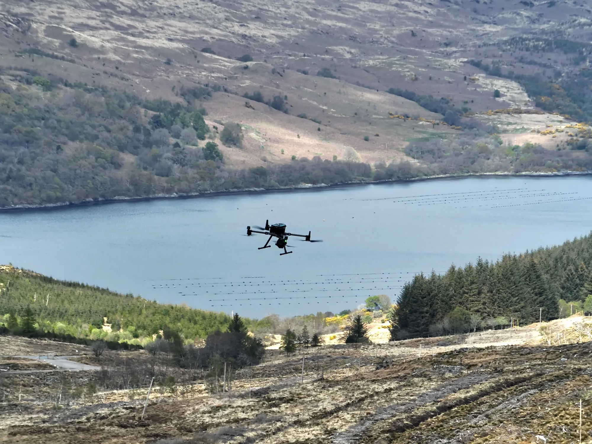
Now we’re ready to fly. Our licensed drone pilots deploy UAVs according to the pre-approved plan. Depending on the conditions, we may fly early morning, late evening, or in overcast weather to maximise thermal imaging effectiveness.
The benefits of this approach are significant. We can access hard-to-reach areas without relying on invasive ground methods, and we can track movement without physically disturbing the site. Live monitoring helps us adjust mid-flight and collect high-resolution data on species, habitat condition, or land use.
Step 5: Data Processing and Mapping the Results
After flying, we download and analyse the raw data using a suite of specialist tools. These include ArcGIS mapping software, LiDAR, and photogrammetry software for generating 3D visual terrain models. Together, they allow us to transform high-resolution images into accurate, actionable insights.
What You’ll Get From Your Drone Survey
- 3D terrain models and vegetation overlays
- Heatmaps of animal movement
- High-resolution aerial mapping outputs
These visuals can support a wide range of conservation and land management efforts, including:
- Habitat restoration planning
- Species protection and population tracking
- Vegetation and land use analysis
- Environmental compliance and reporting
- Long-term biodiversity monitoring
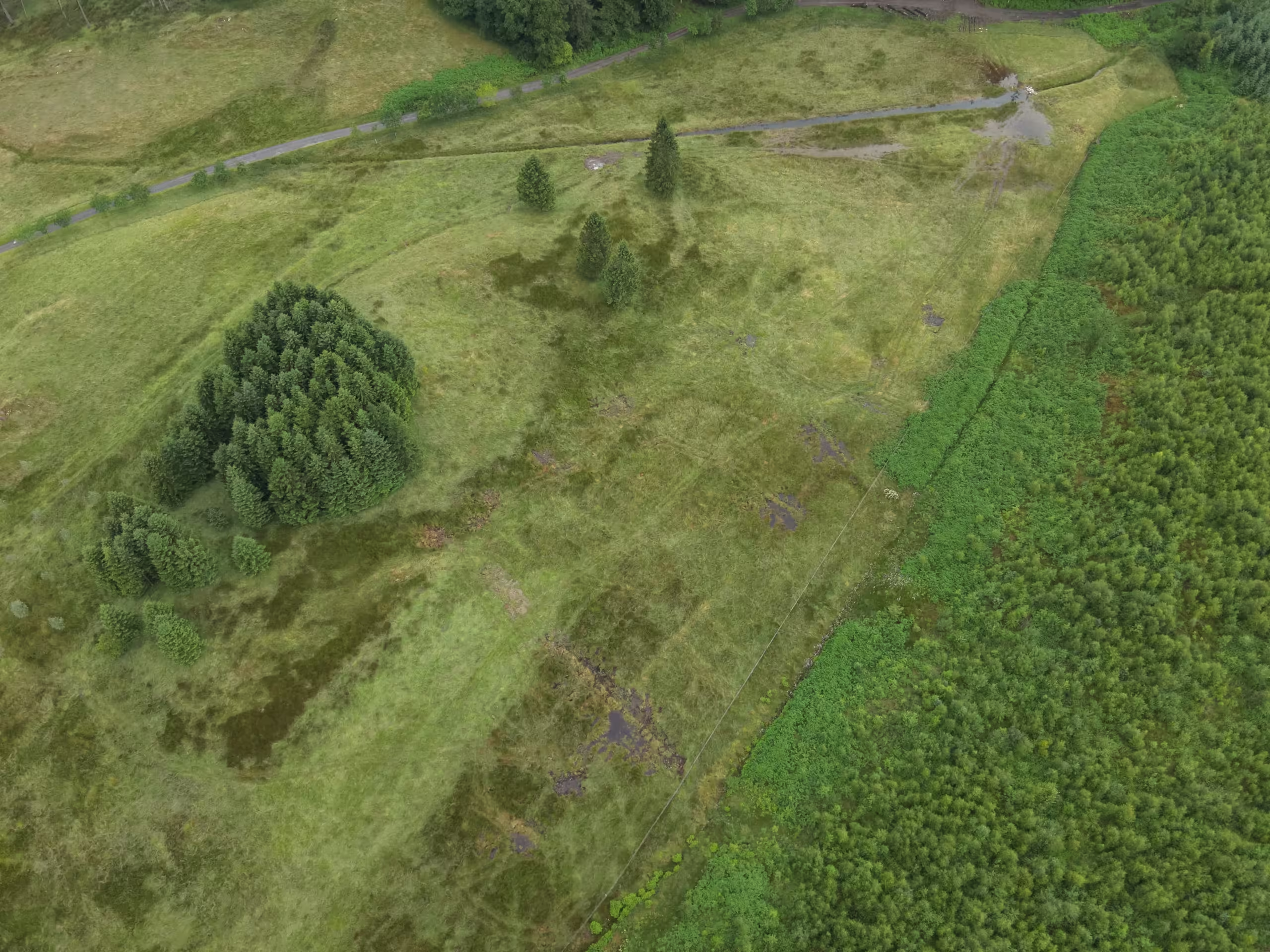
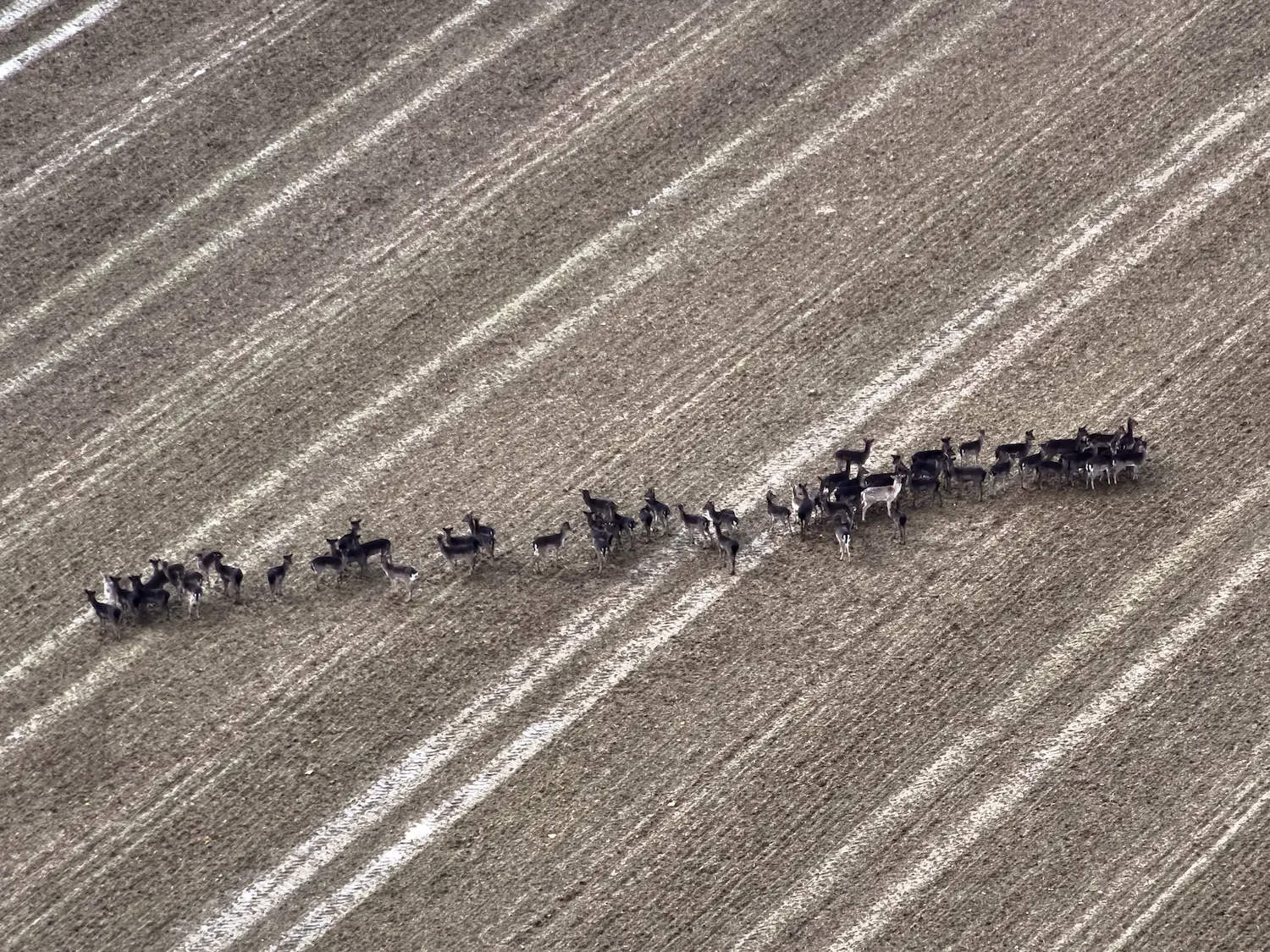
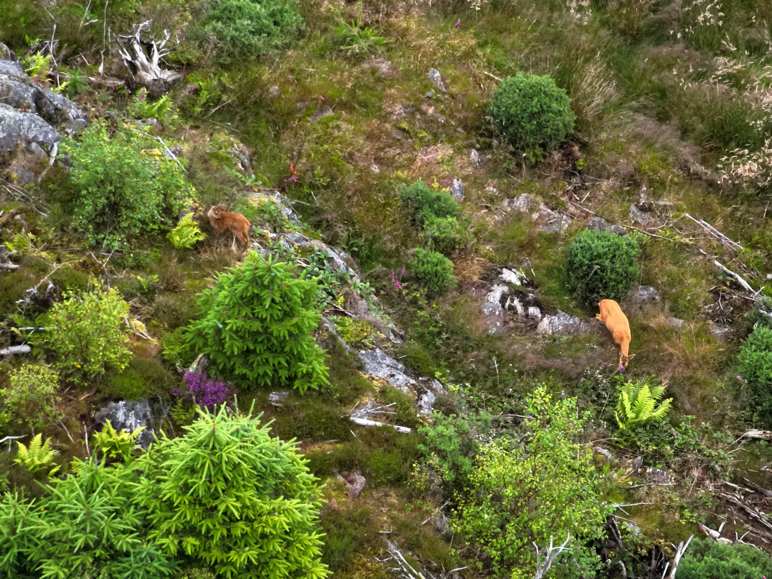
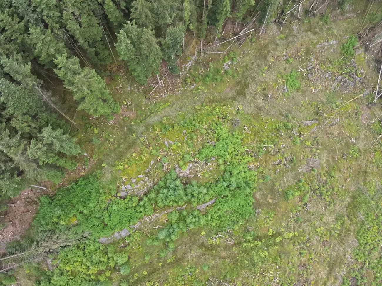
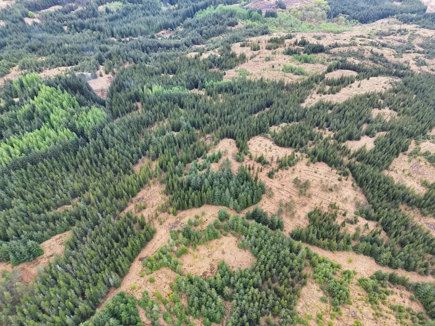
You can see real-world examples of these outputs in our drone survey gallery.
Step 6: Reporting and Recommendations
Once we’ve processed the results, we produce a tailored report. This usually includes:
- Annotated maps
- Photographic evidence
- Habitat or species management advice
The report gives you clarity. It includes not just raw survey data, but expert interpretation and ecological context. These insights help guide your next steps, whether that involves applying for funding, adjusting land management, or meeting regulatory requirements.
Step 7: Long-Term Monitoring and Repeat Surveys
Most of our clients return for repeat work. The consistency of drone flight paths and survey methods makes it straightforward to compare data across different seasons or years.
We support ongoing drone survey services across the UK, from seasonal deer monitoring to habitat change assessments. These follow-up drone surveys are ideal for tracking changes over time and evaluating the impact of conservation or land management strategies. By using consistent flight paths and surveying methods, we help clients build reliable ecological datasets year on year.
What Drone Surveys Can Reveal That Traditional Methods Can’t
Traditional techniques still have their place in field ecology, but drone surveys offer a measurable edge when it comes to speed, accuracy, and minimal impact.
At Boddy Environmental, we offer a range of specialist drone mapping services to support ecological planning, habitat restoration, and biodiversity monitoring.
Key benefits of drone wildlife monitoring include:
- Accessing areas that are unsafe or inaccessible to humans
- Conducting night-time surveys using thermal imaging cameras
- Covering large sites quickly and efficiently
- Reducing stress on wildlife by maintaining distance during data capture
These advantages make UAVs an invaluable tool for modern wildlife monitoring services. Compared to traditional fieldwork, drones for wildlife conservation deliver better data, faster results, and reduced environmental disturbance.
Why Choose Boddy Environmental for Your Drone Surveys?
At Boddy Environmental, we combine deep ecological knowledge with technical skill. Our team includes experienced wildlife consultants, licensed drone operators, and GIS specialists who understand the conservation aspect, the science and the technology.
Whether you need a one-off drone inspection or a year-round monitoring solution, we’ll work with you to tailor a solution that’s:
- Legally compliant (CAA-registered)
- Scientifically robust
- Delivered using advanced drone technology
Learn more about our Other Wildlife Surveys and Management or get in touch to discuss your project.
